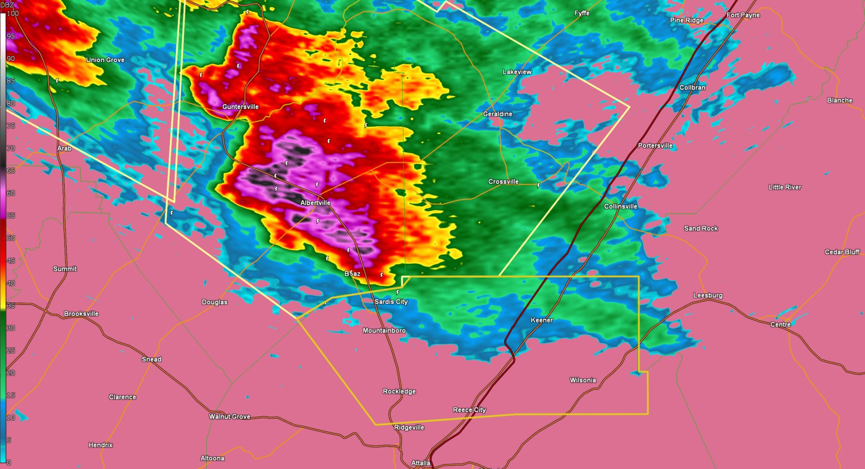
The National Weather Service in Birmingham has issued a

* Severe Thunderstorm Warning for...
  Northeastern Etowah County in northeastern Alabama...

* Until 645 PM CDT.

* At 552 PM CDT, a severe thunderstorm was located over Boaz, moving
  east at 35 mph.

  HAZARD...Golf ball size hail and 60 mph wind gusts.

  SOURCE...Radar indicated.

  IMPACT...People and animals outdoors will be injured. Expect hail
           damage to roofs, siding, windows, and vehicles. Expect
           wind damage to roofs, siding, and trees.

* Locations impacted include...
  Black Creek, Reece City, Sardis City, Wilsonia, Crudup, Tabor Road,
  Mountainboro, Keener, Rockledge, Aurora, and Gadsden.

PRECAUTIONARY/PREPAREDNESS ACTIONS...

For your protection move to an interior room on the lowest floor of a
building.