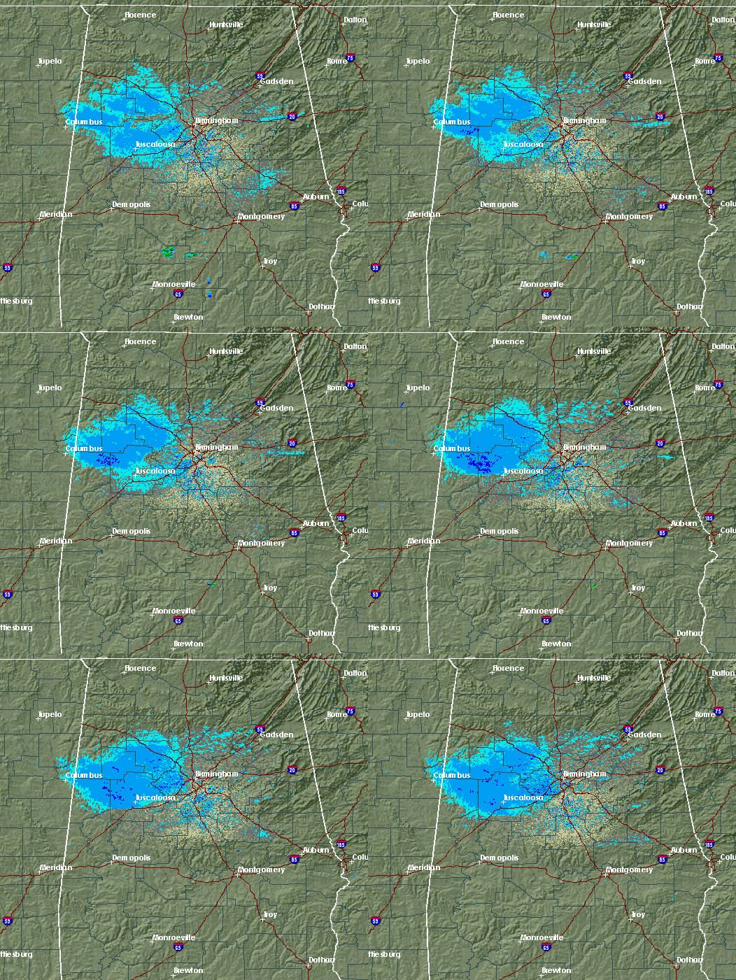
It’s not everyday that radar actually detects a cold front by air temperature and not by clouds or rain. But that is the case today. If you watch the radar loop above, you’ll notice the area of light reflectivity mainly NW of the radar in Calera. That’s not rain, nor clouds. It’s actually called anomalous propagation, a situation where the shallow cold front is actually bending the radiation from the radar down to the ground, sort of like when you put a pencil in a glass of water and the light rays bend. The radiation is bouncing off the ground, back to the radar, making the radar think there are bugs, raindrops, etc. out there. Neat.

Published on: September 28, 2009 at 12:29 PM
Related Articles
June 30, 2026 at 5:41 AM
Hot Summer Weather; A Few Spotty Afternoon Storms
SUMMER HEAT: Afternoon highs will remain in the 90s across Alabama through the rest of the week, with triple digit heat index values during the afternoon hours. A “heat advisory” is in effect for the state. During the peak of … Continue reading →
READ MORE
June 22, 2026 at 5:35 AM
Strong Storms Possible Across Alabama Later Today
ACTIVE DAY: Some rain is falling across the northwest corner of Alabama early this morning… the rain is more widespread to the north over western and middle Tennessee. Showers and storms are likely over North Alabama by mid to late … Continue reading →
READ MORE
