


If you like the weather, today was a day to be glued to surface and upper maps, the radar, upper air soundings, and anything else you could get your hands on.
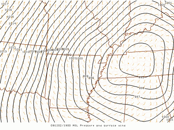
A deepening surface low moving through North Alabama during the dayhas pulled the warm sector almost to the Tennessee Valley, with temperatures nearing 70 degrees and dewpoints in the 60s…
The surface low is now in Tennessee, with a trailing cold front just east of I-65:
A band of thunderstorms is developing along the front, and the NWS in Huntsville has issued a “significant weather alert” for Cullman, Madison, Jackson, and Marshall counties for potential for gusty winds and some small hail. We will keep an eye on those until they get out of Alabama later this afternoon.
A full update coming up shortly including a Weather Xtreme video…



