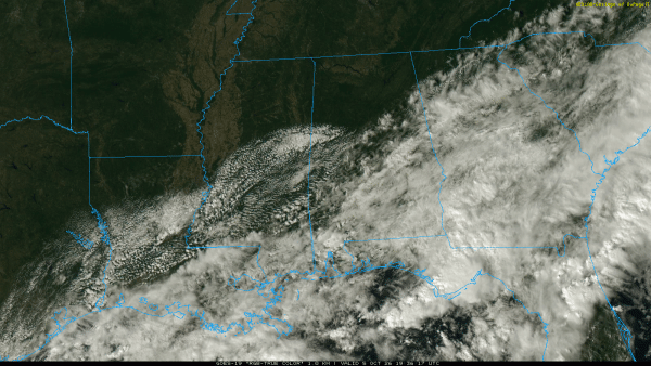
RADAR CHECK: We have a little lingering light rain over Southeast Alabama this afternoon, but most of Alabama is dry with the sun out in full force over the northern counties. Temperatures are in the mid to upper 80s where the sun is out; 70s are over some of the southern counties where clouds linger.
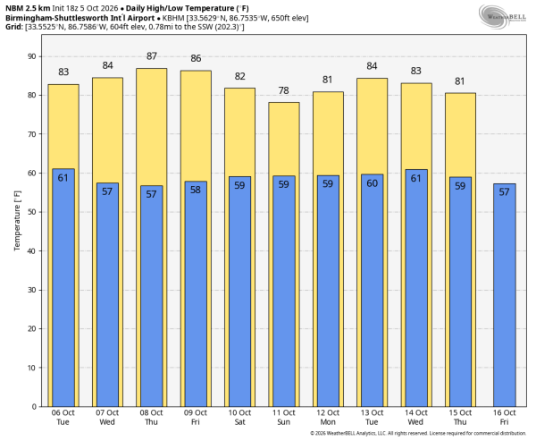
Most of Alabama will be rain-free tomorrow through Thursday with partly to mostly sunny, warm days and fair pleasant nights. Highs will stay in the 80s… a few spots might even touch 90 degrees late in the week. On Friday will mention a chance of showers over the southern quarter of the state, but North and Central Alabama will stay dry.
THE WEEKEND: A tropical low will likely bring widespread rain to Alabama over the weekend. But with any tropical system in the early stages there is great uncertainty… the amount of rain we see, the placement of heavier rain, and timing will all depend on how the tropical low develops. For now it looks like rain over South Alabama early Saturday will spread northward during the day, becoming widespread statewide Saturday night into Sunday. Keep in mind the southern quarter of the state has received 4-7 inches of rain over the past few days, and with saturated soil conditions more flooding issues will be possible if the tropical system behaves as currently forecast.
We will be much more specific about the weekend rain situation by Wednesday, when the tropical system will have a better structure and we get data from Hurricane Hunter aircraft.
The weather will trend drier next week… See the video briefing for maps, graphics, and more details.
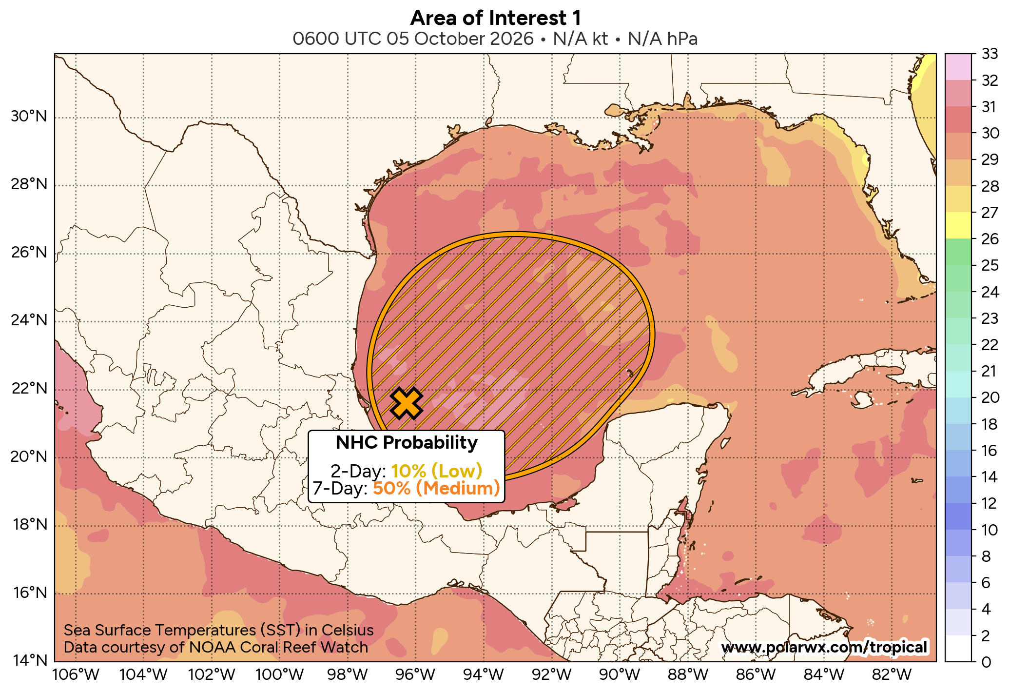
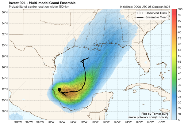
TROPICS: A trough of low pressure over the southwestern Gulf is producing disorganized showers and thunderstorms. Although environmental conditions appear to be marginally conducive, gradual development is becoming more likely, and a tropical depression is expected to form during the middle portion of the week. This system is expected to drift eastward over the next couple of days, before it turns northward. It is too early to determine the specific impacts to the Gulf Coast, but interests there should closely monitor the progress of this system.
NHC now gives the feature an 80 percent chance of becoming a tropical depression or storm. Most global models show it moving onto the Central Gulf Coas Friday night or Saturday, mainly as a big rain maker. If it becomes a tropical storm, the name will be Isaias (ees-ah-EE-ahs).
FOOTBALL WEATHER: Alabama hosts Georgia Saturday night in Tuscaloosa (6:30p CT kickoff). At the moment widespread rain looks likely, but there is considerable uncertainty at this time and understand the forecast could easily change since a tropical system is involved. Temperatures will be in the mid to upper 70s.
ON THIS DATE IN 1972: Tropical Storm Joanne, earlier a hurricane, moved across the Baja California peninsula and came ashore in western Mexico south of Ajo. The storm brought heavy rain and flooding to much of Arizona. This storm is the first documented tropical storm to reach Arizona, with its cyclonic circulation intact.
Look for the next video briefing here by 6:00 a.m. tomorrow…