


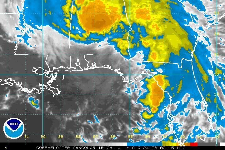
At 10 p.m. CDT, Fay is downgraded to a tropical depression. Advisory 34 is the last NHC advisory on Fay. Future advisories will be issued by NCEP.
The center of the depression is over Southwest Alabama southwest of Monroeville.
It is moving WNW at about 7 mph. It is still expected to stall over Mississippi tomorrow, then turn northeast by midweek.
Heavy rain will be likely until the system moves out to the northeast.
Top winds are 35 mph, mostly in the rainband across South Central Alabama
Tornadoes are possible in the high shear environment over South Central and Southeast Alabama. A tornado watch is in effect until 3 a.m.
At 10 p.m…a moderate raindband curves from Tuscaloosa to Birmingham to Wedowee. A heavier rainband is over South Central Alabama from Marengo County to Autauga/Elmore and over to Russell Counties.
Heavy rain will be a threat through the overnight. A flash flood watch covers South Central Alabama.



