


2.5 inches has fallen in a short time in sports west of Huntsville.
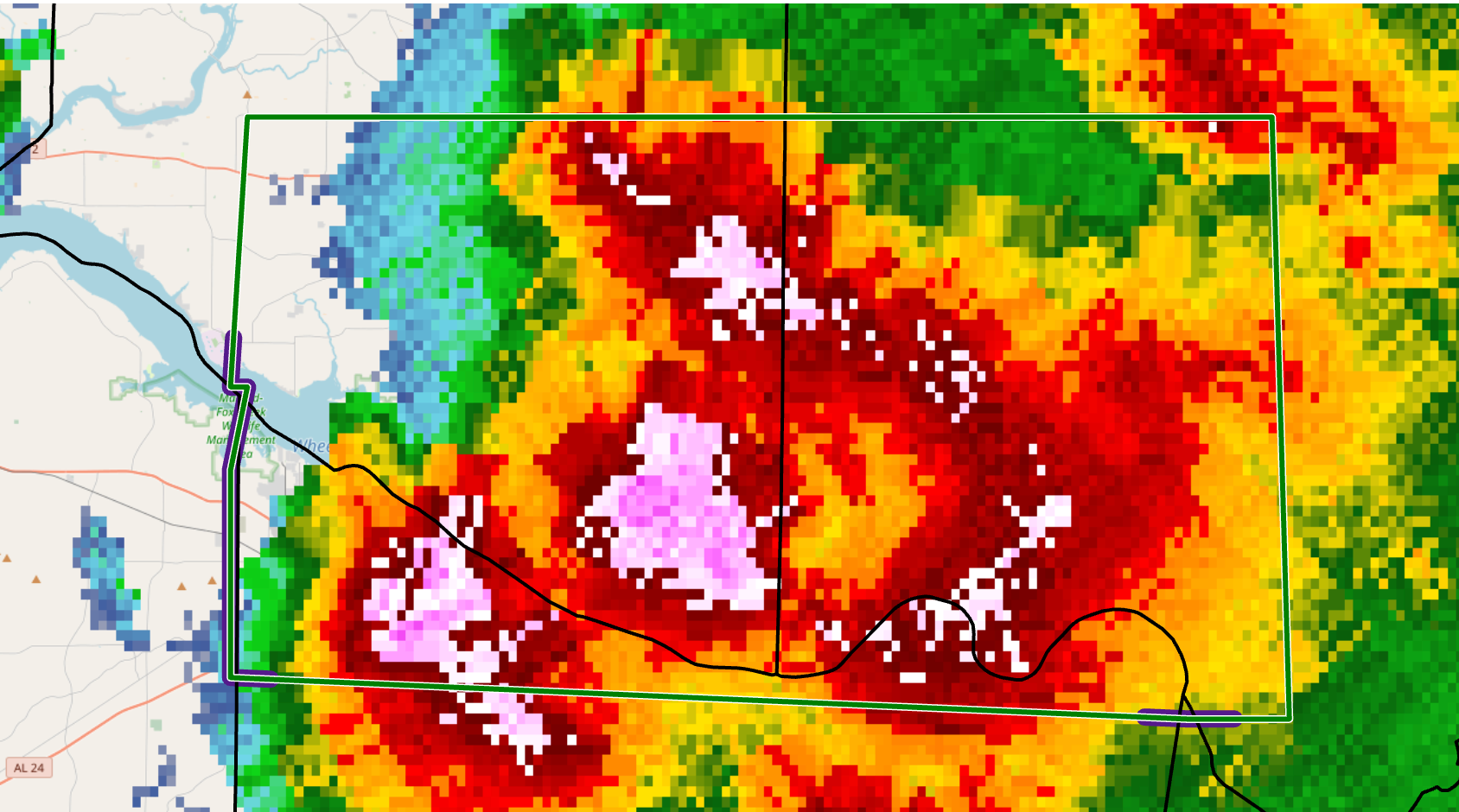
The National Weather Service in Huntsville has issued a
* Flash Flood Warning for…
Southeastern Limestone County in north central Alabama…
Southwestern Madison County in north central Alabama…
Northern Morgan County in north central Alabama…
* Until 600 PM CDT.
* At 250 PM CDT, Doppler radar indicated thunderstorms producing
heavy rain across the warned area. Flash flooding is ongoing or
expected to begin shortly. Radar estimates 1 to 2 inches of rain
has already fallen, with locally higher amounts up to 3 inches.
HAZARD…Flash flooding caused by thunderstorms.
SOURCE…Radar.
IMPACT…Flash flooding of small creeks and streams, urban
areas, highways, streets and underpasses as well as
other poor drainage and low-lying areas.
* Some locations that will experience flash flooding include…
Huntsville, Decatur, Madison, Athens, Redstone Arsenal, Moores
Mill, Priceville, Trinity, Owens Cross Roads, Triana, Huntsville
International Airport, Marshall Space Flight Center, University Of
Alabama In Huntsville, Harvest, Tanner, Alabama A And M
University, Mooresville, Belle Mina, Capshaw and French Mill.



