The tropical depression in the northern Gulf of Mexico continues to move slowly NW this afternoon. Convection has actually decreased since this morning, but may be starting to increase again in the last hour. Aircraft reconnaisance reports maximum flight-level winds of 36 knots, and strongest winds at surface stations lately have been 25 knots offshore and 20 knots in NW Florida. So, even though this system only has to increase in strength a little to become “Jerry”, it’s having a hard time.
How will it affect us in central AL? James has details on this in the video below. Radar indicates a band of thunderstorms moving through south GA and southeast AL, approaching Auburn and Montgomery. So, some rain is likely this afternoon and evening, at least in areas from about Alexander City south. A few storms could move as far north as BHM, but it’s hard to say.

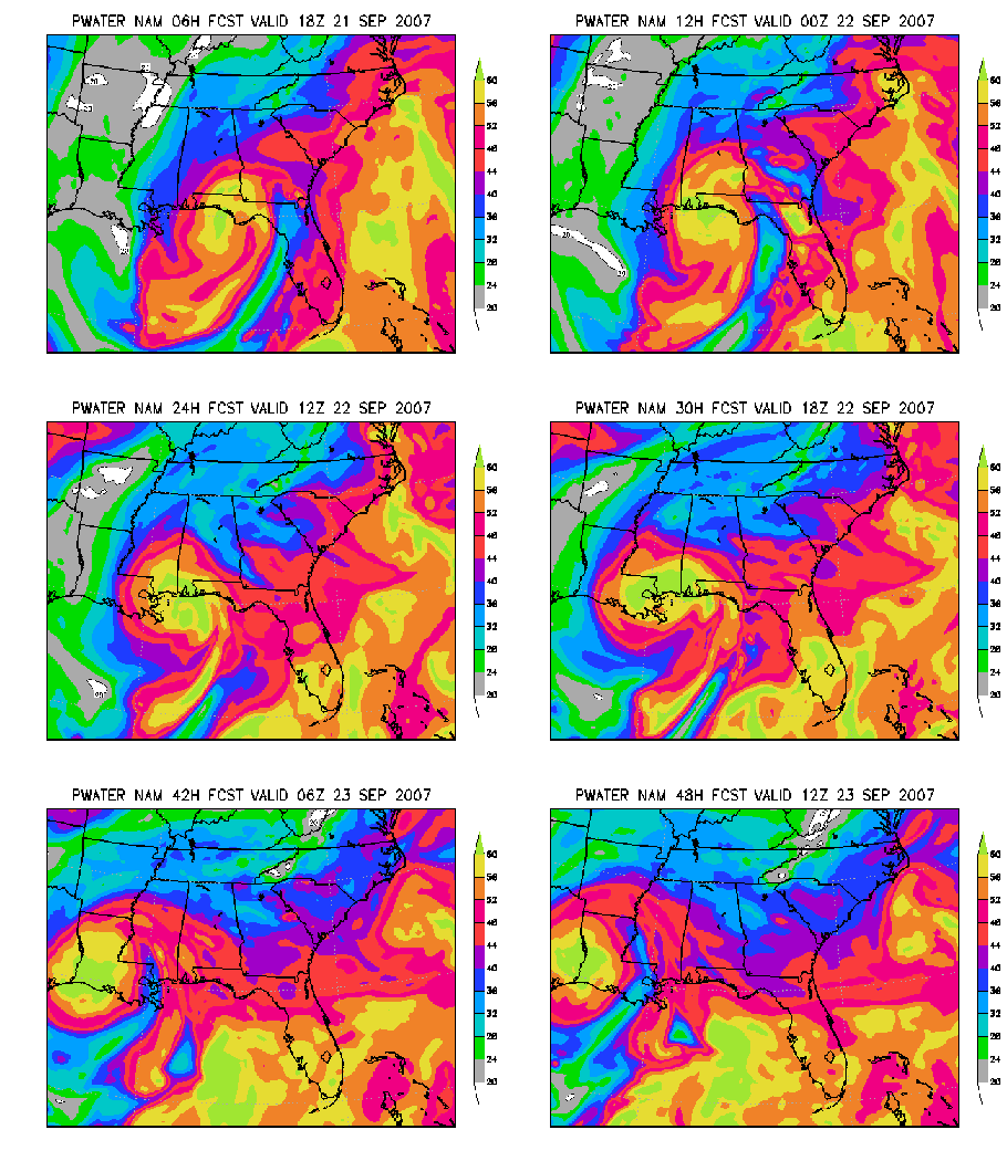
As James points out, over the weekend, the deepest moisture will be in south Alabama and Mississippi, as shown in the NAM model loop of precipitable water below. Moisture may increase by Sunday.