


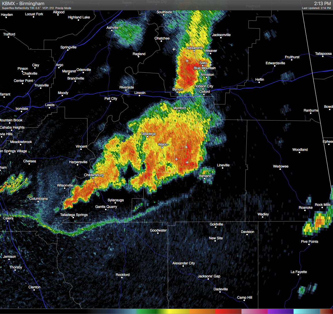
Strong thunderstorms are moving through Clay County, with the strongest one located in a line stretching from near Mount Cheaha to just south of Waldo. These storms are moving southeastward at 10 MPH. The NWS has issued a Significant Weather Advisory for Clay County until 3:00 PM for the threat of wind gusts in excess of 40 MPH and dangerous cloud-to-ground lightning. If you are in the path of these storms, please stay indoors until it they pass. Communities in the path of these storms are listed below:
LINEVILLE…ASHLAND…BARFIELD…ROSELLE…GUNTHERTOWN…CRAGFORD…
MELLOW VALLEY…LAKE CHINNABEE…MILLERVILLE AND MOTLEY.
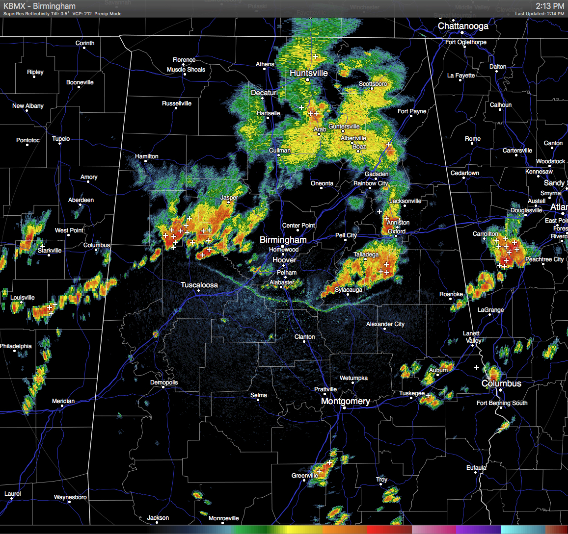
Another cluster of strong storms are making their way through Fayette, Walker, Tuscaloosa, and Jefferson Counties. Lots of cloud-to-ground lightning and heavy rainfall are associated with these storms. General movement is to the east, but development is spreading to the south behind an outflow boundary from these storms.



