


A very familiar story for a January thunderstorm outbreak this morning across Alabama…
I am down at ABC 33/40 this morning “babysitting” these storms, giving Ashley B a break to catch a power nap. These events can be very tricky, and usually offer a surprise or two.
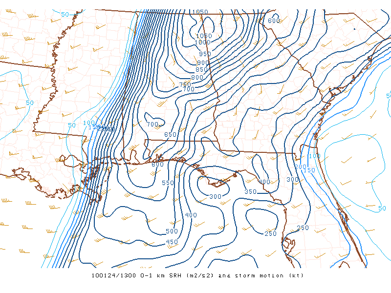
The chart below represents 0 to 1 kilometer helicity, which is sky high over the eastern half of Alabama:
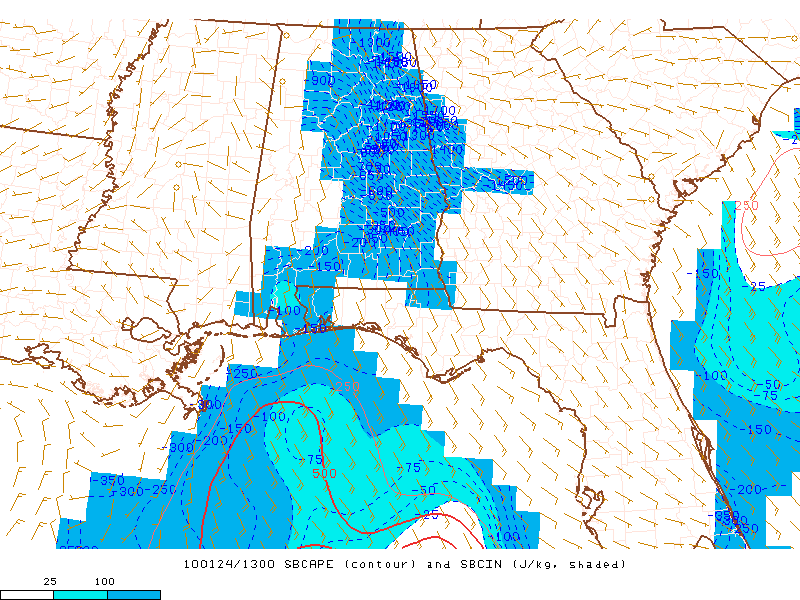
But, there is no surface based CAPE as seen below:
And, here is the day one convective outlook from SPC:
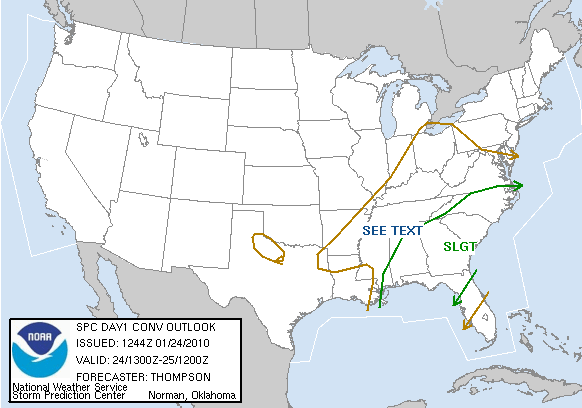
Bottom line is that heavy rain and strong storms will sweep across the eastern two-thirds of Alabama for the next four hours, but the main limiting factor in preventing a major severe weather problem is the lack of instability. However, in these kind of low CAPE high shear environments, we have seen tornado development. And, as the daytime heating proceeds, and warm air advection continues, don’t be shocked if we see a tornado warning for a few East Alabama counties later this morning. We are here waiting and watching. A special thanks to J.B. Elliott, Bill Murray, and Ashley Brand for burning the midnight oil on this one. Sleep often is hard to come by for weather people, you know…



