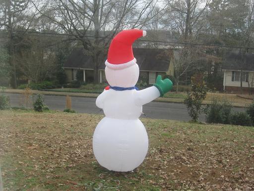
With a deepening low pressure area to our NW, and increasing high pressure to our east, already gusty winds will continue to increase today, with sustained wind speeds of 30 mph this morning, increasing to 30 to 40 mph this afternoon. Gusts will be as high as 45 mph at times, with ridge tops maybe near 50 mph, and these winds are not associated with thunderstorms, just the pressure gradient. Secure outdoor objects, including Christmas decorations (like our Frosty shown above).
We still expect a line of thunderstorms to move through this evening, with heavy rain and winds possibly over 60 mph in a few locations. This could down trees and power lines, so be careful outdoors and pay attention to the weather.
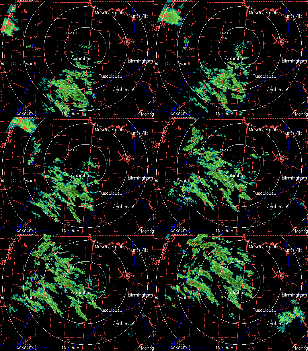
Another note…likely due to the wind shear in place, gravity waves formed overnight out ahead of the developing storm system. A 2+ hour radar loop from Columbus, MS shows the upward motion parts of the waves producing light precipitation. The waves are oriented NW-SE.