


RADAR CHECK: We actually have a few thunderstorms on radar early this morning just before sunrise over the northwest corner of the state; heavy rain is falling over the western parts of Lauderdale, Colbert, and Franklin counties. The rest of Alabama is dry with temperatures in the 60s. Those isolated storms will end soon, otherwise today will be mostly sunny with a high around 90 degrees for most places. Any showers this afternoon will be few and far between.
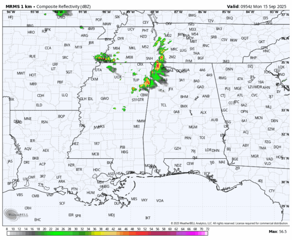
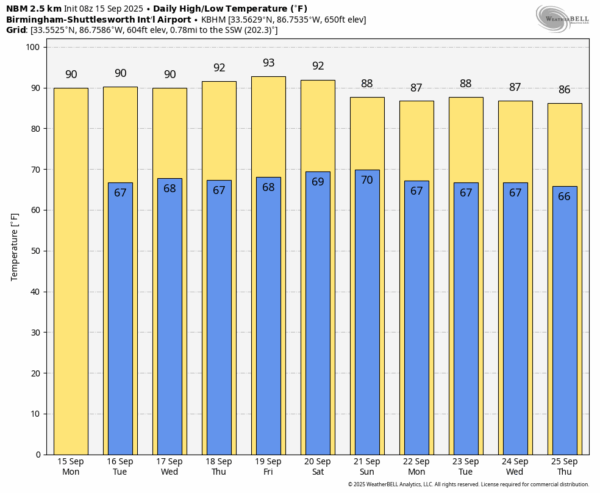
The weather won’t change much through the week and over the coming weekend. Mostly sunny days, fair nights, and only very isolated showers. Chance of any one spot seeing rain daily is 10 percent or less, and highs will be in the 90-93 degree range.
Temperatures will come down next week with highs in the mid to upper 80s, and unfortunately there is still no sign of any widespread, beneficial rain event for the state for the next ten days. Understand this is not unusual this time of the year; September and October tend to be very dry months unless a tropical system is involved. See the video briefing for maps, graphics, and more details.
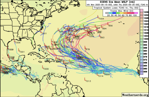
TROPICS: A tropical wave over the central tropical Atlantic is producing a large area of disorganized showers and thunderstorms. Although dry and stable air is expected to limit development during the next day or so, gradual development is anticipated thereafter, and a tropical depression is likely to form by the middle to latter part of this week as the system moves west-northwestward at 10 to 15 mph over the central tropical Atlantic.
NHC gives this feature an 80 percent chance of development, but it will turn north into the open Atlantic and is no threat to land. We see no tropical storms or hurricanes across the Gulf for at least the next 7-10 days.
ON THIS DATE IN 1945: A hurricane entered the south Florida coast at Homestead, curving northward right up through the center of Florida, remaining over land, and exited near Jacksonville Beach with winds gusting to 170 mph. The following is from the Homestead Air Reserve Base. “On Sept. 15, 1945, three years to the day after the founding of the Homestead Army Air Field, a massive hurricane roared ashore, sending winds of up to 145 miles per hour tearing through the Air Field’s buildings. Enlisted housing facilities, the nurses’ dormitory, and the Base Exchange were all destroyed. The roof was ripped from what would later become building 741, the Big Hangar. The base laundry and fire station were both declared total losses. The few remaining aircraft were tossed about like leaves.”
Look for the next briefing video here by 3:00 this afternoon… enjoy the day!



