


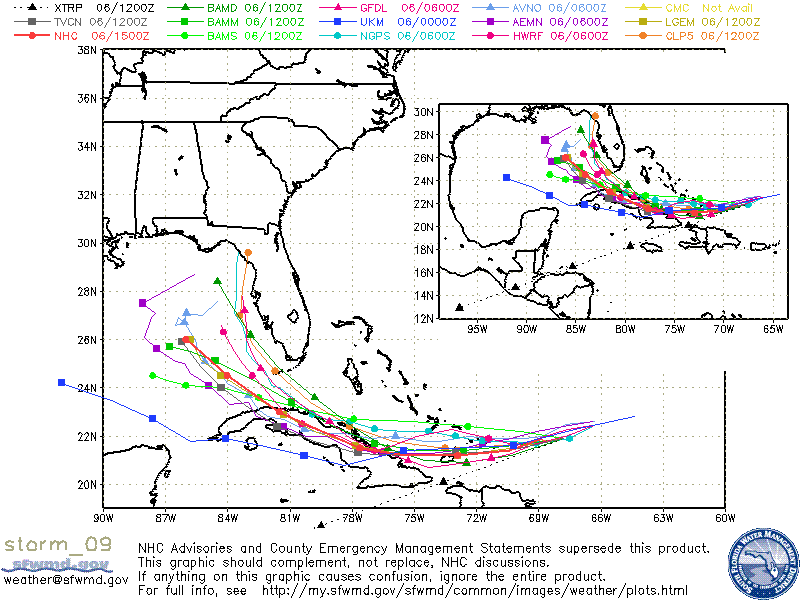
Reading James’ posts below, you can see why Ike is difficult. The GFS has shifted its forecast position for next week for Ike from north Florida, to middle Gulf, to north Florida. Visible satellite imagery makes it look like the storm may be moving almost due west this morning…hard to tell, but if that’s true, tracks to the right would be a little more likely. The storm is intense, with US Air Force Reconaissance finding 125 knot flight level wind this morning, so current intensity of 95 knots may be increased later today.
Here are some models, from tonight into next week. Time intervals may become shorter toward the end of the loop.
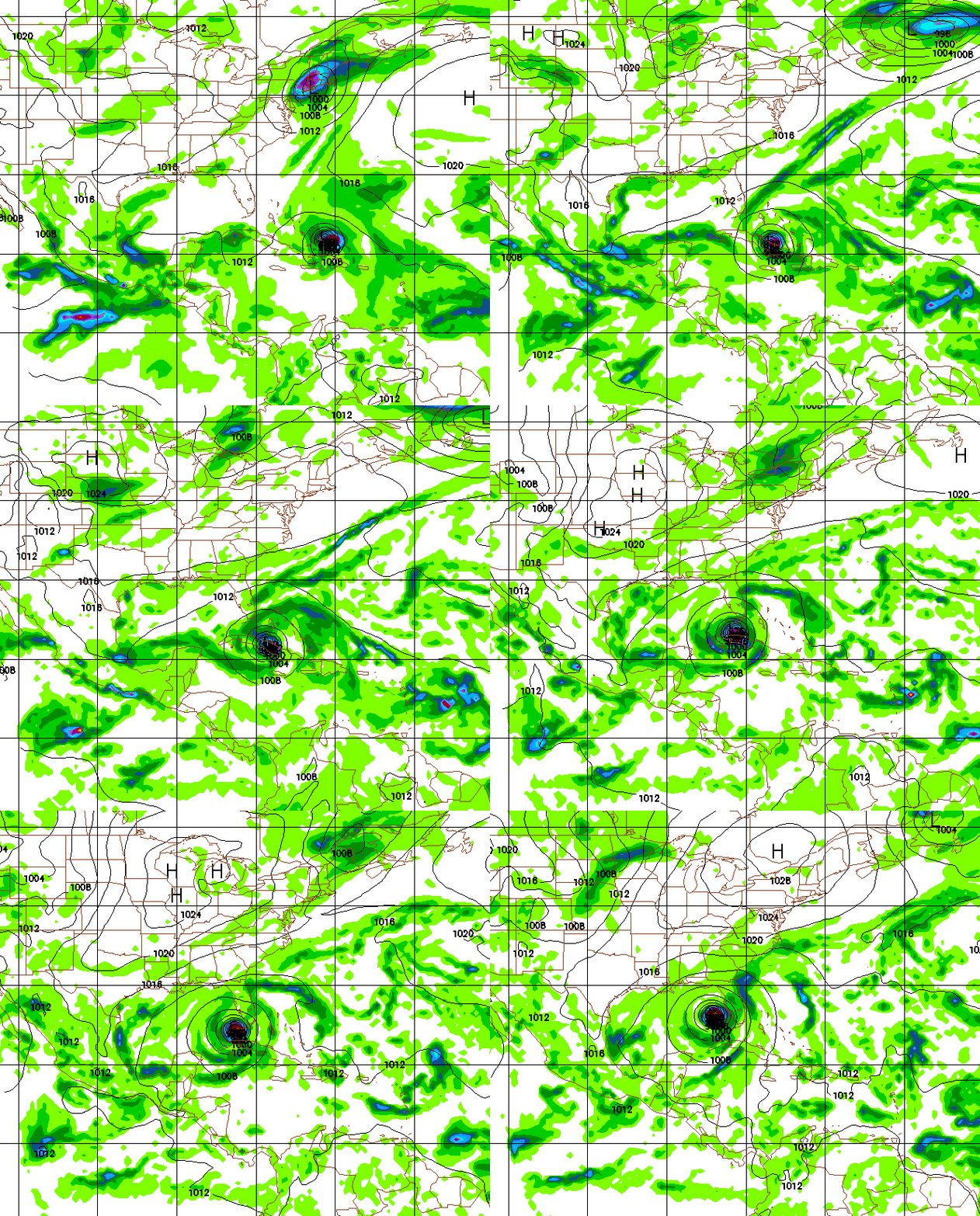
HWRF – Extrapolation from Thursday 1 am would take it to Appalichicola +/- 100 miles
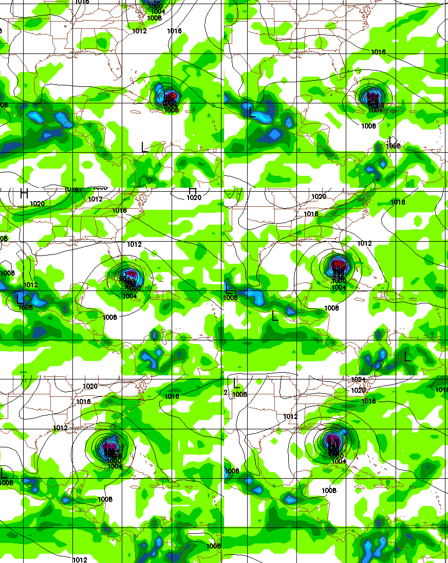
GFDL – Takes the storm to Tampa
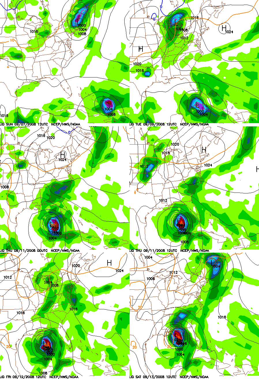
GFS – Takes storm to Panama City +/- 50 miles
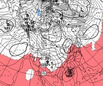
CMC – Takes storm to SE Louisiana
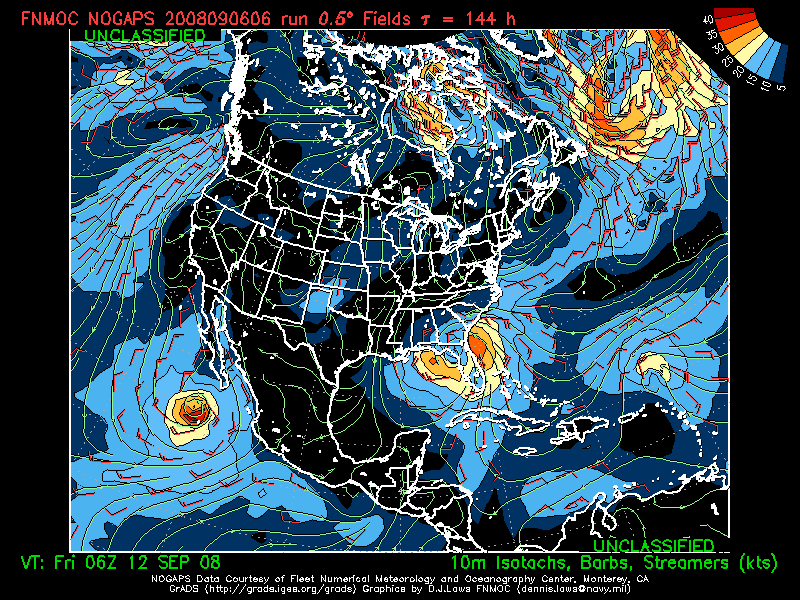
NOGAPS – Takes storm to Cedar Key +/- 100 miles
So, we all need to keep a close eye on this storm. It could go just about anywhere, though curving north early and having the storm never reach the Gulf appears unlikely at this time. The thing is, you can relax this weekend here in Alabama, watch some football, or go fishing, because any landfall, if one occurs between New Orleans and Appalachicola, should be at Wednesday at the earliest.
UAH is planning another deployment…the Hanna deployment got scrubbed.



