One week ago, we were already in the deep freeze with strong cold air advection in progress over Alabama. A week and a lot of cold air later, we are even deeper in the deep freeze, with more cold advection going on.
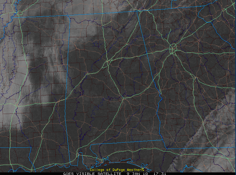
Skies are mostly sunny across much of Alabama. There are stratocumulus clouds over Northwest Alabama. The SC clouds are thicker back over Mississippi.
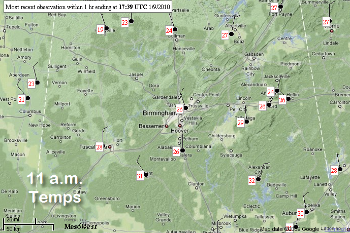
Temperatures look like this in the last hour.
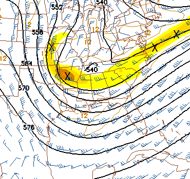
A big trough continues over the Mississippi Valley and eastern U.S., allowing the cold air to come south.
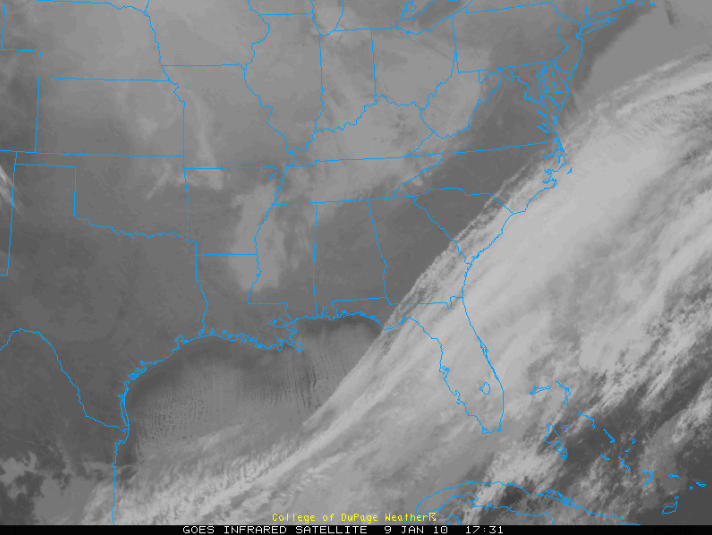
Finally…look south to see the thick rows of stratocumulus clouds over the Gulf of Mexico as the colder air flows over the relatively warmer waters of the Gulf, causing enough upward motion to produce the clouds.