


Not much change in our thinking from the early morning discussion.. bottom line is that the greatest risk of severe weather will be along and south of I-20; the greatest risk of continued flooding will be north of I-20.
Here is the late morning day one convective outlook from SPC:
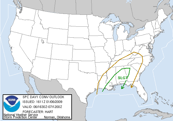
The key to severe weather is getting the surface based instability up into Central Alabama. Here is a look at surface based CAPE values:

I will have a full discussion and Weather Xtreme video by 3:00 or so unless severe weather problems develop. Some pretty significant flooding continues across parts of Cullman, Blount, and Etowah counties, with a number of roads closed now.



