


SPC maintains a slight risk of severe thunderstorms (their standard risk) for North Alabama this afternoon and early tonight:

The airmass is now in the recovery mode following the overnight MCS (mesoscale convective system). No surface based instability yet…
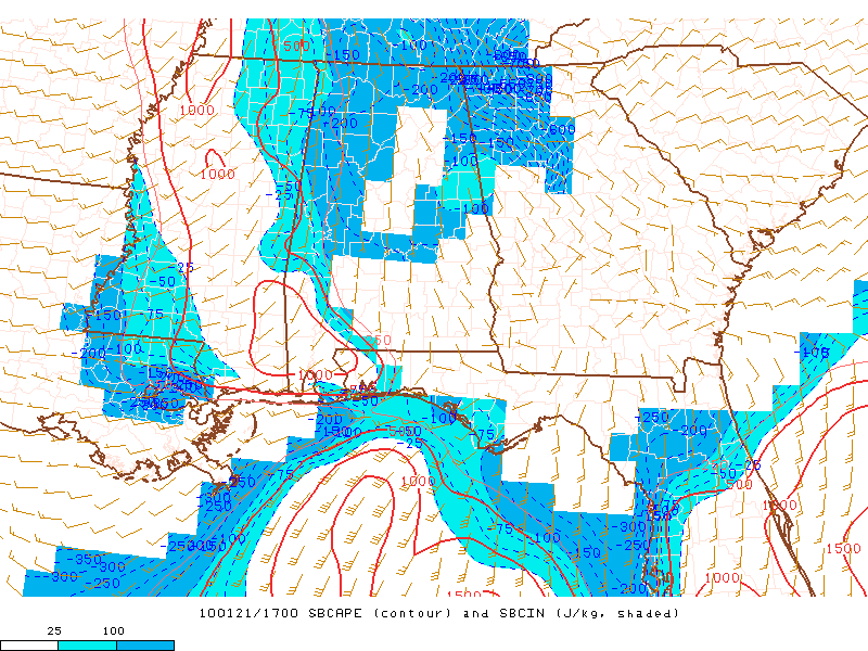
However, late morning models runs hint at surface dewpoints rising back into the mid 60s this afternoon, with surface based CAPE values over 1,500 j/kg. This, with a negative tilt upper trough just northwest of Alabama, will set the stage for the development of scattered thunderstorms this afternoon, with some possibly becoming severe. All modes of severe weather will be possible, including isolated tornadoes. The primary window for this activity will be from around 1:00 until 7:00 p.m. We will be watching closely…



