


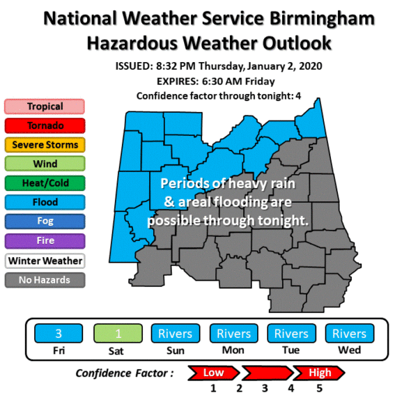
This Hazardous Weather Outlook is for the counties served by the National Weather Service office in Birmingham:
For the remainder of your Thursday night and into the overnight hours: An extended period of moderate to heavy rainfall will continue along and northwest of Interstate 59. Rainfall amounts of 2 to 4 inches are possible with locally higher amounts through tonight. This could result in flooding of low lying and poor drainage areas.
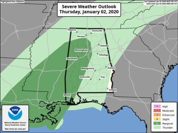
While the Storm Prediction Center continues a Marginal Risk for severe storms through the remainder of the night, NWS Birmingham has decided to remove any mention of severe storms across Central Alabama for tonight.
For Friday Through The Weekend: Lingering rainfall will continue into Friday along and northwest of Interstate 59. Any ongoing flooding of low lying and poor drainage areas may persist through Friday afternoon.
Points along the Black Warrior, Tombigbee, Sucarnoochee, and Locust Fork river basins are expected to reach minor flood stage following the rain event starting on Friday lasting until at least early next week.
Strong winds are possible Saturday afternoon as a storm system exits Central Alabama. Sustained winds of 15 to 20 MPH along with gusts to around 35 MPH are possible.
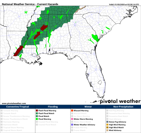
Areal Flood Watches continue for all of North Alabama (Colbert, Cullman, DeKalb, Franklin, Jackson, Lauderdale, Lawrence, Limestone, Madison, Marshall, and Morgan counties) and for the north and northwestern parts of Central Alabama (Blount, Cherokee, Etowah, Fayette, Greene, Jefferson, Lamar, Marion, Pickens, St. Clair, Sumter, Tuscaloosa, Walker, and Winston counties) through 6:00 pm Friday.
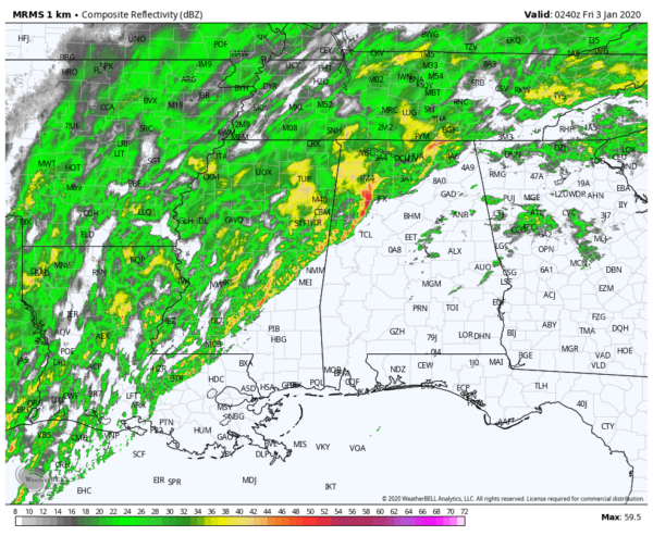
Latest radar image as of 8:40 shows a line of rain and a few embedded thunderstorms moving into the west-central parts of Central Alabama and starting to move into the southwest portions of the area. Heavier downpour is about to move into western parts of Walker County and possibly move across Jasper within the next 30 minutes or so.



