


The 00Z GFS run looks like this at 6:00 a.m. Saturday:
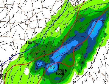
How many times have we seen this? A Gulf storm with the deepest moisture just to the south, and the coldest air just to the north. Could this be a snow threat for Alabama and Georgia? Nobody knows at this stage of the game, but the idea is now on the table for our consideration.
Much more on the early morning discussion and Weather Xtreme video here in about 8 hours!



