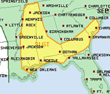
The SPC continues to keep a large part of Alabama under a slight risk for severe weather today. Birmingham is not in the current risk, however just west of the city the is. The risk includes Tuscaloosa, Montgomery, Mobile and most locations west of Interstate 65 and south of a line from Interstate 85 in Montgomery east to about Phenix City.
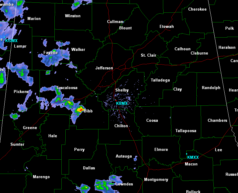
A check of the radar shows there are a few showers and an isolated thunderstorm in west-central Alabama right now. These showers are moving rapidly off to the south as northwest flow aloft pushes these storms towards the coast. The heaviest downpour currently looks to be along Highway 82 just west Brent, near Duncanville. Later today more widespread thunderstorm development is expected. The storms will have the chance to produce large hail, damaging winds, flash flooding and very dangerous cloud-to-ground lightning.