


I will crank out a Weather Xtreme later today… for now the radar is relatively quiet..
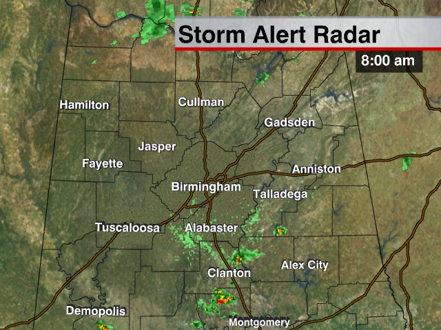
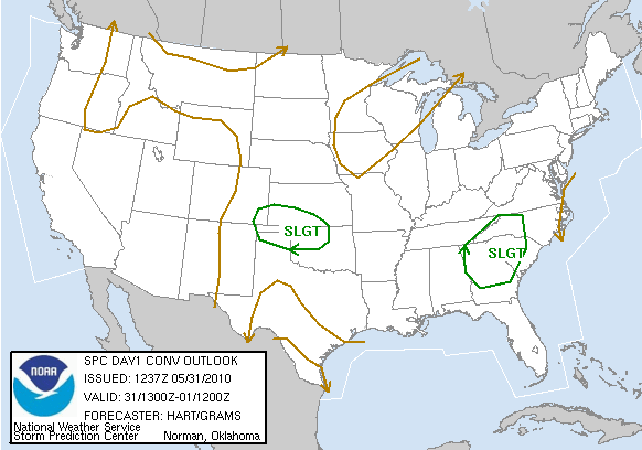
The air remains moist and unstable across Alabama today, but the upper low is beginning to move east as mid level winds increase. SPC has defined the highest risk of severe storms to the east:
Still, we expect scattered to numerous showers and storms this afternoon during the peak of the daytime heating process. The biggest issue will be lightning and heavy rain; we don’t expect too many severe storms in the classic sense (large hail and damaging winds), although some small hail can’t be ruled out.
REST OF THE WEEK: Scattered showers and storms remain likely tomorrow, but they should thin out a good bit on Wednesday. Then, the chance of showers and storms will increase again Thursday and Friday with an approaching upper trough.
WEEKEND PEEK: Looks like an upper ridge will take over this weekend, meaning fewer showers, and increasing heat levels. The GFS is printing 93 on Saturday and 95 Sunday… welcome to summer.
Again, much more later today when I will produce a Weather Xtreme video. Enjoy the day!



