


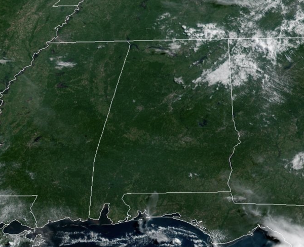
LATE JULY IN ALABAMA: Little change in the day to day forecast across Alabama this time of year. Expect hot temperatures, high humidity, and random afternoon and evening storms on a daily basis. Today through Thursday, high across Alabama will range from the mid upper 90s. Factor in those dew points in the mid-70s and we are seeing those heat index values in the 100°-108° range, which is why portions of Alabama have heat advisories in place today and likely the next few days. We live in Deep South, we know how to stay cool, but just be extra cautious this time of year.

We always want to remind folks of heat illnesses specifically heat exhaustion and heat stroke. Heat exhaustion is a condition whose symptoms may include heavy sweating and a rapid pulse, a result of your body overheating. Heat exhaustion can lead to heatstroke, a life-threatening condition which immediate medical care is needed.

As far as rain chances, most of this week the are in the 20-40% range. Any summer storm will produce tremendous amounts of lightning, which tends to be the biggest threat this time of year. With such a moisture-rich air mass in place, any storm will also be a prolific rain producer, which can lead to areas of isolated flash flooding.
BIRMINGHAM ALMANAC: For July 21st, the average high for Birmingham is 91° and the average low is 72°. The record high is 101° set in 1952, while the record low is 61° set in 2009. We average 0.17” of precipitation on this date and the record value is 3.19” set in 2013.
ACROSS THE USA: The heat will increase and expand across the Central Plains, Mississippi Valley, Southeast and into the Eastern U.S. through the week as high pressure builds across the eastern two-thirds of the country. On the northern periphery of this heat, the threat for severe thunderstorms and heavy rainfall across the northern Plains and upper Midwest through Tuesday. Critical Fire Weather for the West.
FRIDAY AND BEYOND: Highs will come back down into the low 90s to end the week and rain chances will increase some, 40-60% range. Needless to say it will stay very humid. The overall pattern just won’t change next week as we continue through the Dog Days of Summer with no big ticket weather item showing up the next 7-10 days.

IN THE TROPICS: In the Central Tropical Atlantic, we have Invest 94L. Showers and thunderstorms associated with an area of low pressure located about 700 miles east-southeast of the Lesser Antilles have changed little in organization during the past several hours. Environmental conditions are marginally conducive, and any development should be slow to occur while the system moves generally west-northwestward at 10 to 15 mph. In a couple of days, conditions are forecast to become unfavorable for further development. Formation chance through 7 days…low…20 percent. The rest of the Atlantic Basin is quiet, including the Gulf.
CONTIGUOUS TEMPERATURE EXTREMES: Over the last 24 hours, the highest observation was 117F at Stovepipe Wells and Death Valley, CA. The lowest observation was 29F at Peter Sinks, UT.



