


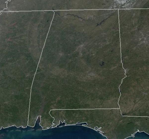
Today and tomorrow will be dry for the northern half of the state, but a feature will work along the Gulf Coast tomorrow bringing clouds and some light rain across the southern half of the state. Highs today are in the 50s under a sunny sky, and only in the upper 40s tomorrow, due to the clouds. Temperatures go below freezing Sunday morning with most many locations in the 20s. Sunday will be sunny and cold with highs in the 40s.
FIRST HALF OF WEEK: The first half of next week looks dry for the northern half of the state, but again, a feature will work along the Gulf Coast bringing clouds and scattered rain showers for areas to the south. Highs to start the week will remain cold; upper 40s and lows 50s.
ARCTIC BLAST: On Thursday, an Arctic front could bring rain back to Alabama, perhaps some snow flurries as well, but accumulations are not expected. The big story to end next week and into Christmas weekend will be the Arctic blast for the Deep South. Highs drop into the 20s and 30s, with lows in the teens. Colder spots over North Alabama could dip into the single digits. Friday wind chills will likely be closer to zero as a howling north winds drive in the cold air. Be prepared for a bitterly cold Christmas weekend.
WHITE CHRISTMAS?: Is it possible? Yes, because cold air will be in place. Will it happen? Unlikely, due to model inconsistencies…The GFS has hinted at enough moisture being present to allow for a chance of snow on Christmas Day across parts of Alabama, but the more reliable European model doesn’t support this idea. Could things change, absolutely, this is still 8-9 days away, but for now we are only forecasting a very cold, dry Christmas Day. Word of caution, don’t get suckered into what you may see on social media or get caught up in wishcasting…forecasting snow in the Deep South is very difficult within a couple of days, and near impossible over a week out.
BEACH FORECAST CENTER: Get the latest weather and rip current forecasts for the beaches from Fort Morgan to Panama City on our Beach Forecast Center page. There, you can select the forecast of the region that you are interested in visiting.
WORLD TEMPERATURE EXTREMES: Over the last 24 hours, the highest observation outside the U.S. was 108.3F at Marble Bar, Australia. The lowest observation was -65.2F at Yurty, Russia.
CONTIGUOUS TEMPERATURE EXTREMES: Over the last 24 hours, the highest observation was 87F at Miles City, FL. The lowest observation was -28F at Peter Sinks, UT.



