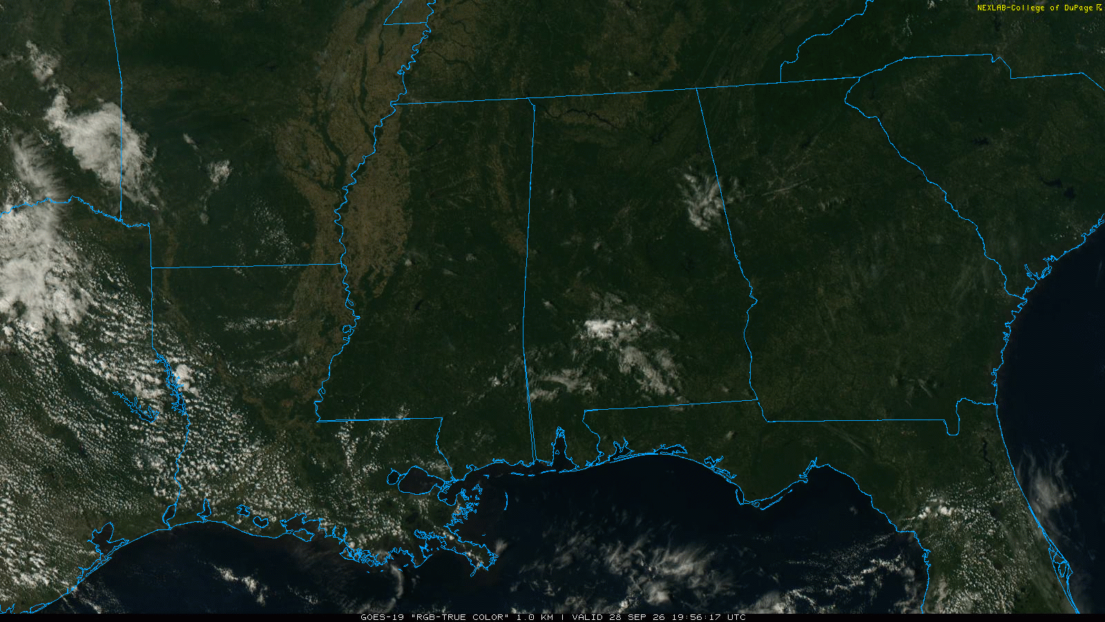
RADAR CHECK: Large areas of rain and a few thunderstorms are moving across the northern 2/3 of Alabama early this morning. This rain will move out of the state quickly, and a decent part of the day will be dry with just a few scattered showers. Expect a high today in the 78-84 degree range.
TONIGHT: Another organized batch of rain and storms will move through the state tonight, but this time over the central and southern counties. SPC maintains a low end “marginal risk” (level 1/5) of severe thunderstorms for the southern half of Alabama tonight.
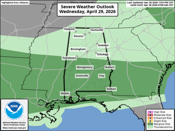
Heavier storms over South Alabama tonight could produce strong wind gusts and some hail… wind profiles do not support a tornado threat.
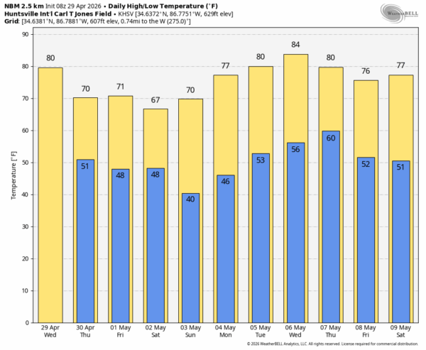
Tomorrow will be generally dry with only isolated showers near the Gulf Coast; highs drop into the 70s statewide. Most of the day Friday will be dry… highs will be only in the upper 60s over the northern third of the state.
FRIDAY NIGHT AND THE WEEKEND: A wave will form along a surface front near the Gulf Coast, and a large area of rain will move through Alabama Friday night into Saturday morning. Some thunder is possible along the coast, but for most of Alabama the air will be cool and stable while the rain falls. Saturday afternoon will be generally dry, but rain could linger across the southeast part of the state. Look for a high Saturday between 65 and 75 degrees.
Sunday will be mostly sunny with a high in the 70s.
NEXT WEEK: The first half of the week will be dry with a warming trend. Global models suggest rain and thunderstorms will return Thursday… See the video briefing for maps, graphics, and more details.
ON THIS DATE IN 1963: Five tornadoes touched down across Alabama, all rated F2. In Marion County one home was destroyed and 6 others were damaged near Byrd. One cafe and 4 homes were destroyed and several other buildings and homes were damaged south of Hamilton near Sugar Bend. Numerous trees were blown down and many farm buildings were damaged along the path; there were 17 injuries.
ON THIS DATE IN 1995: Severe thunderstorms moved across Tarrant County in Texas. Hail up to 3.5 inches in diameter did an enormous amount of damage. 100 aircraft were damaged at DFW airport. Damages in the county totaled $220 million. This was the second major hailstorm to hit the area in a month.
Look for the next video briefing here by 3:00 this afternoon… enjoy the day!