OK, Brian Peters (born in New Hampshire) doesn’t think it’s going to be “cold” later this week. I think some of us will disagree at High School football games Friday evening! Just kidding, Brian!
A cold front comes through here Tuesday night, and then cooler air slowly comes in through the end of the week. No, most of us probably won’t need to run the heat (although Friday night will be a close call), but it will be much cooler than it has been, and perhaps even below normal by Friday.
The humidity will drop on Wednesday, allowing temperatures Wednesday night in the 50s. With north winds continuing, Friday through Sunday should be very nice, with highs in the 70s, and lows at night maybe dropping into the upper 40s.
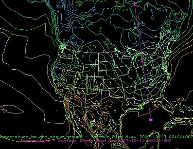
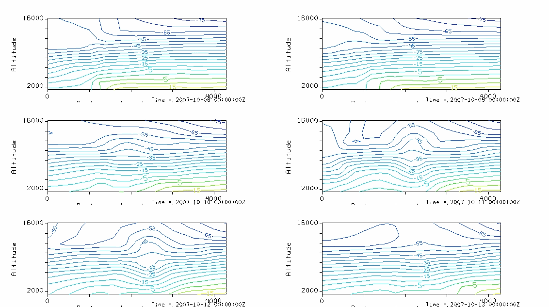
Check this out. The top image is a plan view of model surface temps for Friday evening at 7 pm. Note it is 55-60 over north AL (this may be a bit too cold). The line from eastern Canada through Alabama and into the Gulf of Mexico is a cross-section line. The animation (bottom) is a cross-section of model-predicted temperatures (in Celsius) through Friday night. Note how the cold air moves south at lower levels, while it stays about the same at high altitudes. Alabama is near the 3rd dash on the N-S axis (across the bottom).