


Here is the new Day One convective outlook just issued from SPC:
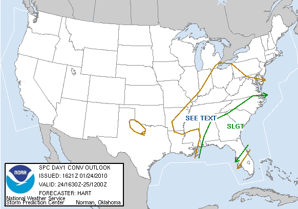
The greatest risk of severe weather for the rest of the midday hours will be along and east of a line from Gadsden to Talladega to Montgomery. West of that line additional severe weather is not expected, and the rain will slowly end from west to east.
Scroll down for the “high shear, low CAPE” discussion I wrote earlier… that pretty much sums it up. We might have another tornado warning for some county in East-Central Alabama, but a widespread problem is not expected due to the lack of instability. We will be watching…



