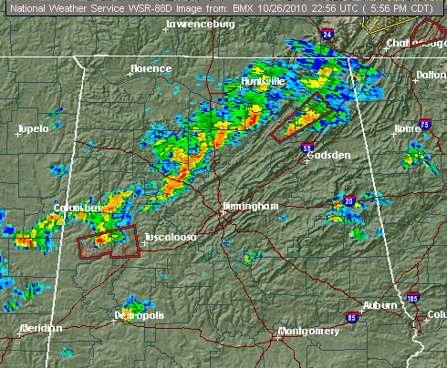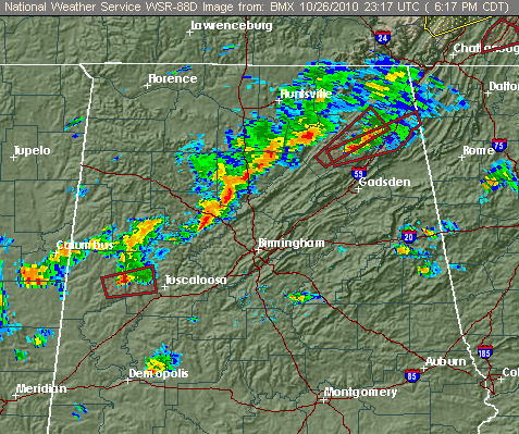
The number of storms has decreased, and with sunset allowing some cooling, and wind shear decreasing, the overall trend with the storms over the next two hours should be weakening, as has already been the case.
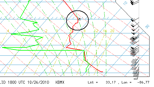
HOWEVER, there are still severe storms out there, like the dangerous one moving toward TCL county and the other near/approaching Smith Lake (see Bill’s posts for more detail on those). The storms today, for the most part, have been small and rather shallow, partially due to a temperature inversion at 500 mb (see balloon data from 1 pm today at NWS above). However, the wind shear has been causing almost every thunderstorm to rotate, and there have been many reports of wall clouds, and at least two possible tornadoes. So, even the event is winding down somewhat, continue to keep an eye on the weather, and if a tornado warning is issued, go to shelter immediately!
Even in areas outside tornado warnings, strong to severe thunderstorms are possible, and may bring torrential rainfall that is especially difficult to drive in at night, hail, and wind gusts over 50 mph (that can still knock down trees).