


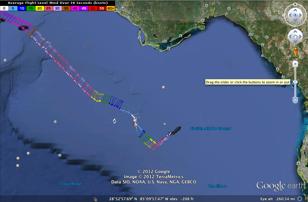
An Air Force Reserve Hurricane Hunter flight has just finished one pass through the eye of Tropical Storm Debby. The center is roughly near 28.6N/85.5W. This is some 85 miles south southwest of Apalachicola. The center has moved about 15 miles to the east in the last seven hours or so. That is essentially stationary.
The minimum pressure measured was 995 millibars, which might be adjusted slightly based on whether the dropsonde splashed down squarely in the center. But it does indicate that Debby is certainly not strengthening, and may be weakening a bit.
There is a little warm water left where the center is, so some strengthening is possible, but the main thing Debby is fighting is dry air that was pulled into the circulation yesterday.
I think the NHC track will eventually be adjusted more east or northeast, rather than the directly northward drift forecast now.
There is a severe thunderstorm warning in Southwest Florida and a tornado warning in coastal Georgia. The SPC has much of Florida into southern Georgia outlook in a slight risk today for severe weather. A tornado watch is in effect for much of the Florida Peninsula. There are still flood watches and warnings and high wind advisories in addition to the tropical storm warning and watch for the Sunshine State.


