


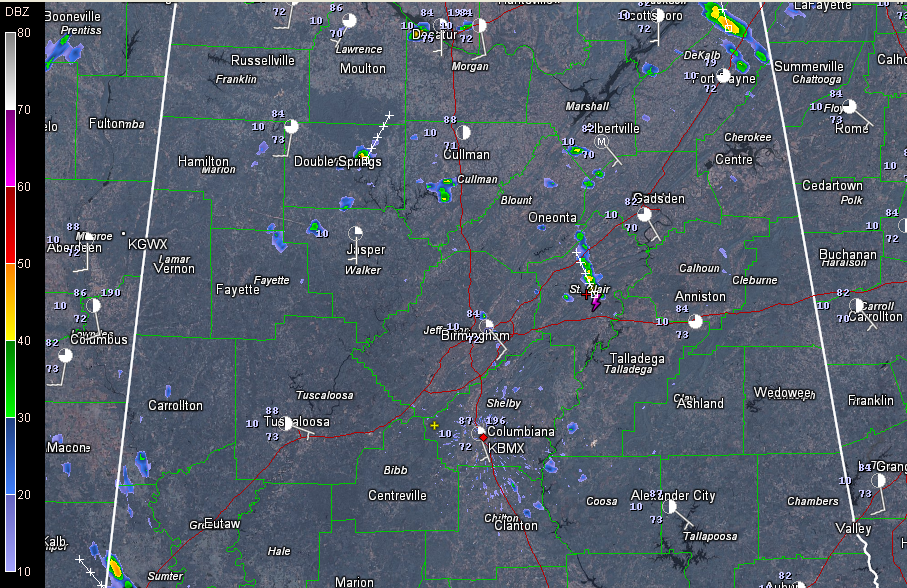
Scattered storms are starting to form across North Central Alabama late this morning. You can see a nice cumulus field across the area on visible satellite photos. Temperatures are in the middle and upper 80s already, warm enough to trigger the storm development.
Showers and thunderstorms are likely across Central Alabama this afternoon and evening thanks to deep moisture that will provide the fuel and summertime heating that will provide the speak.
The chance of any severe weather is small from these pulse storms. Generally they will just produce brief heavy rain, deadly lightning and wind gusts to about 40 mph.
A couple of them may briefly become severe, so you might see a warning or two issued.



