


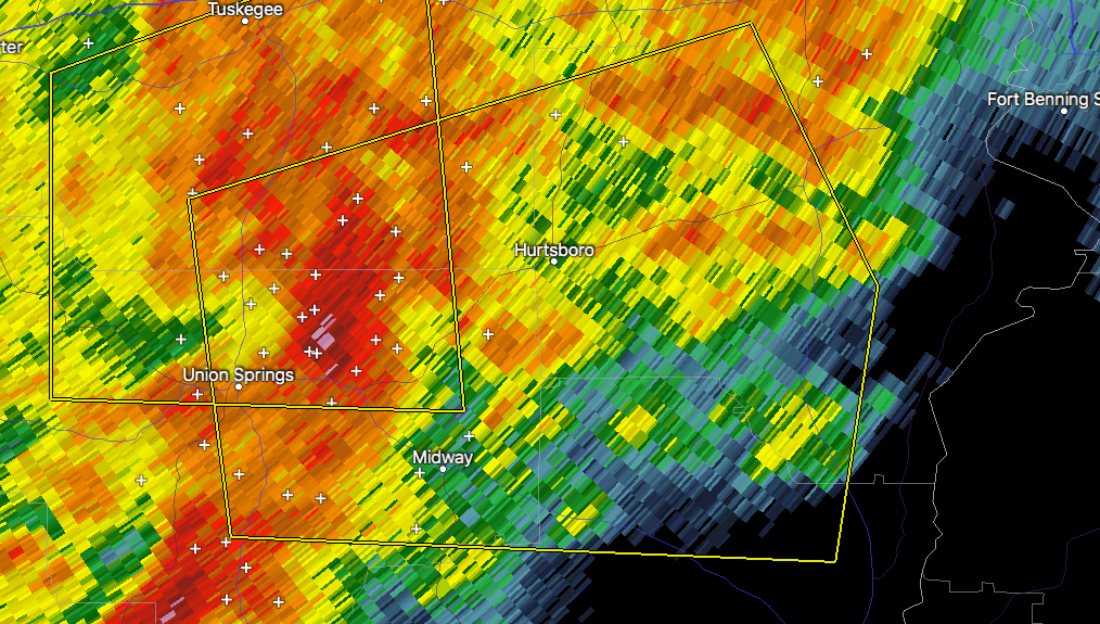
The National Weather Service in Birmingham has issued a
* Severe Thunderstorm Warning for…
Northeastern Bullock County in southeastern Alabama…
Southeastern Macon County in southeastern Alabama…
Northeastern Barbour County in southeastern Alabama…
Western Russell County in southeastern Alabama…
* Until 415 PM CDT.
* At 326 PM CDT, a severe thunderstorm was located near Guerryton, or
7 miles north of Midway, moving east at 40 mph.
HAZARD…60 mph wind gusts and penny size hail.
SOURCE…Radar indicated.
IMPACT…Expect damage to roofs, siding, and trees.
* Locations impacted include…
Union Springs, Hurtsboro, Midway, Hawkinsville, Aberfoil, Uchee,
Spring Hill, Seale, Comer, Guerryton, Warriorstand, Sedgefield,
Fort Davis, Creek Stand, Rutherford, Three Notch and Hatchechubbe.
PRECAUTIONARY/PREPAREDNESS ACTIONS…
For your protection move to an interior room on the lowest floor of a
building.



