The National Weather Service in Birmingham has issued a
* Severe Thunderstorm Warning for…
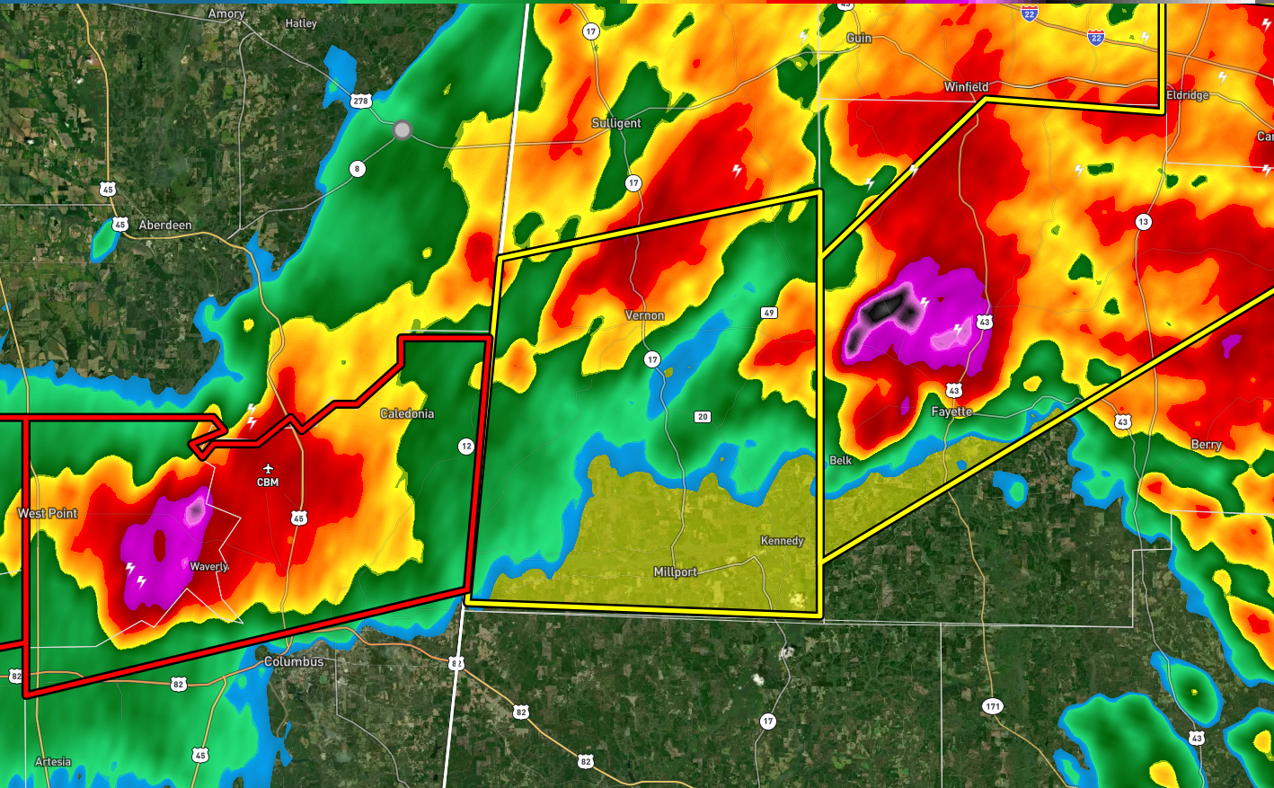
Southern Lamar County in west central Alabama…
* Until 715 PM CST.
* At 612 PM CST, a severe thunderstorm was located over Waverly, or
over Columbus AFB, moving east at 45 mph.
HAZARD…Half dollar size hail.
SOURCE…Radar indicated.
IMPACT…Damage to vehicles is expected.
* Locations impacted include…
Vernon, Millport, Kennedy, Blooming Grove, Bedford, Crossville,
Cody, Star, Hightogy, Lamar County Public Lake and Melborne.
PRECAUTIONARY/PREPAREDNESS ACTIONS…
A Tornado Watch remains in effect until 1100 PM CST for west central
Alabama.
For your protection move to an interior room on the lowest floor of a
building.