


Quarter-size hail (1″) falling near Old Rail Road Bed and Capshaw Roads in Madison County
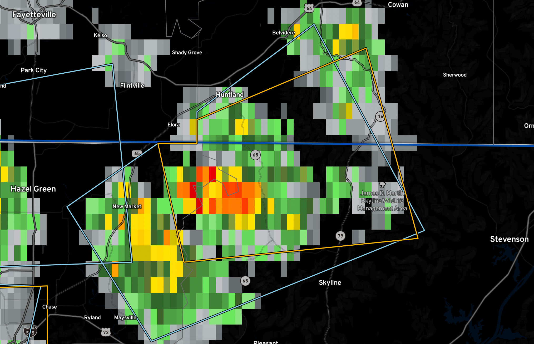
The National Weather Service in Huntsville Alabama has issued a
* Severe Thunderstorm Warning for…
Northwestern Jackson County in northeastern Alabama…
Northeastern Madison County in north central Alabama…
Southwestern Franklin County in Middle Tennessee…
* Until 215 PM CDT.
* At 125 PM CDT, a severe thunderstorm was located 8 miles south of
Huntland, or 15 miles east of Moores Mill, moving east at 15 mph.
HAZARD…60 mph wind gusts and quarter size hail.
SOURCE…Radar indicated.
IMPACT…Hail damage to vehicles is expected. Expect wind damage
to roofs, siding, and trees.
* Locations impacted include…
Hytop, Estillfork, Francisco, Jericho and Larkin.



