


…A SEVERE THUNDERSTORM WARNING REMAINS IN EFFECT UNTIL 530 PM CST FOR NORTHEASTERN CLEBURNE COUNTY… At 514 PM CST, severe thunderstorms were located along a line extending from near Mars Hills to near Heflin, moving east at 50 mph.
HAZARD…60 mph wind gusts and quarter size hail.
SOURCE…Radar indicated.
IMPACT…Hail damage to vehicles is expected. Expect wind damage to roofs, siding, and trees. Locations impacted include… Fruithurst, Muscadine, Mars Hills, Oak Level, Sweetwater Lake and Coleman Lake And Campground.
Severe Thunderstorm Warning Issued For Parts Of Cleburne County Until 5:30PM
Mar 1st @ 5:02 pm
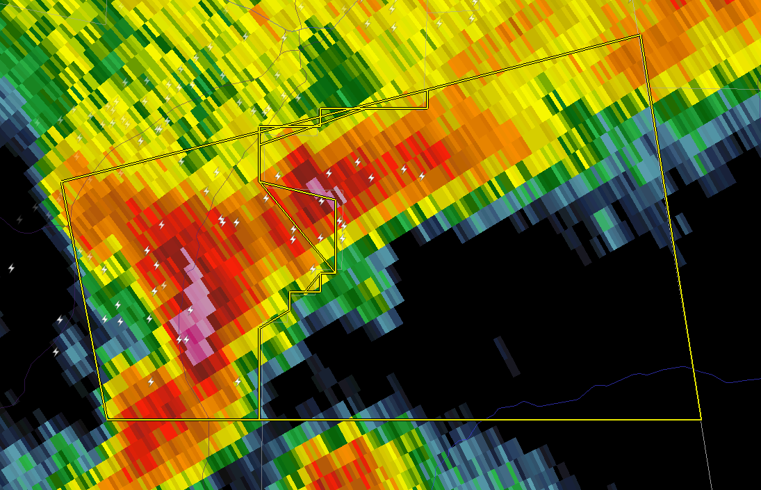

The National Weather Service in Birmingham has issued a
* Severe Thunderstorm Warning for…
Northeastern Cleburne County in east central Alabama…
* Until 530 PM CST
* At 501 PM CST, a severe thunderstorm was located near Jacksonville, moving east at 55 mph.
HAZARD…60 mph wind gusts and quarter size hail.
SOURCE…Radar indicated.
IMPACT…Hail damage to vehicles is expected. Expect wind damage to roofs, siding, and trees.
* Locations impacted include…
Fruithurst, Muscadine, Mars Hills, Liberty Hill, Oak Level, Sweetwater Lake and Coleman Lake And Campground.



