


…THE SEVERE THUNDERSTORM WARNING FOR NORTHWESTERN CULLMAN COUNTY
WILL EXPIRE AT 515 PM CDT…
The storm which prompted the warning has moved out of the area.
Therefore, the warning will be allowed to expire.
A severe thunderstorm watch remains in effect until 900 PM CDT for
north central, northeastern and northwestern Alabama.
Severe Thunderstorm Warning Issued For Parts Of Cullman County Until 5:15PM
Mar 27th @ 4:36 pm
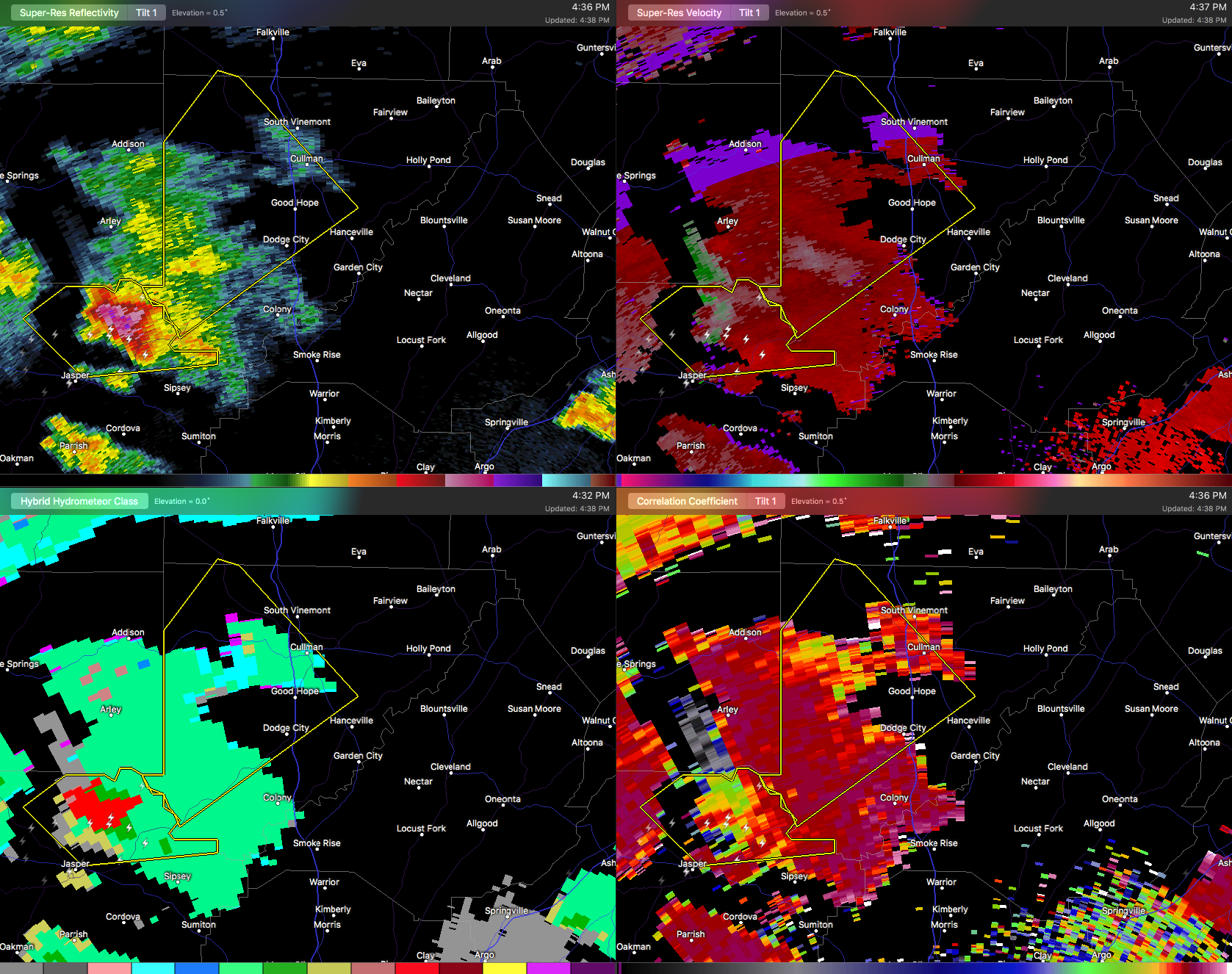

The National Weather Service in Huntsville Alabama has issued a
* Severe Thunderstorm Warning for…
Northwestern Cullman County in north central Alabama…
* Until 515 PM CDT
* At 435 PM CDT, a severe thunderstorm was located over Curry, or 7 miles north of Jasper, moving northeast at 30 mph.
HAZARD…60 mph wind gusts and quarter size hail.
SOURCE…Radar indicated.
IMPACT…Hail damage to vehicles is expected. Expect wind damage to roofs, siding, and trees.
* Locations impacted include…
Cullman, Good Hope, Dodge City, Smith Dam, Baldwin, West Point, Phelan, Wilburn, Crane Hill and Battleground.



