


…THE SEVERE THUNDERSTORM WARNING FOR FAYETTE COUNTY HAS EXPIRED…
The storms which prompted the warning have moved out of the area.
Therefore, the warning has been allowed to expire.
A Tornado Watch remains in effect until 1100 PM CDT for central,
northwestern and west central Alabama.
Severe Thunderstorm Warning Issued For Parts Of Fayette County Until 7:45PM
Apr 18th @ 6:33 pm
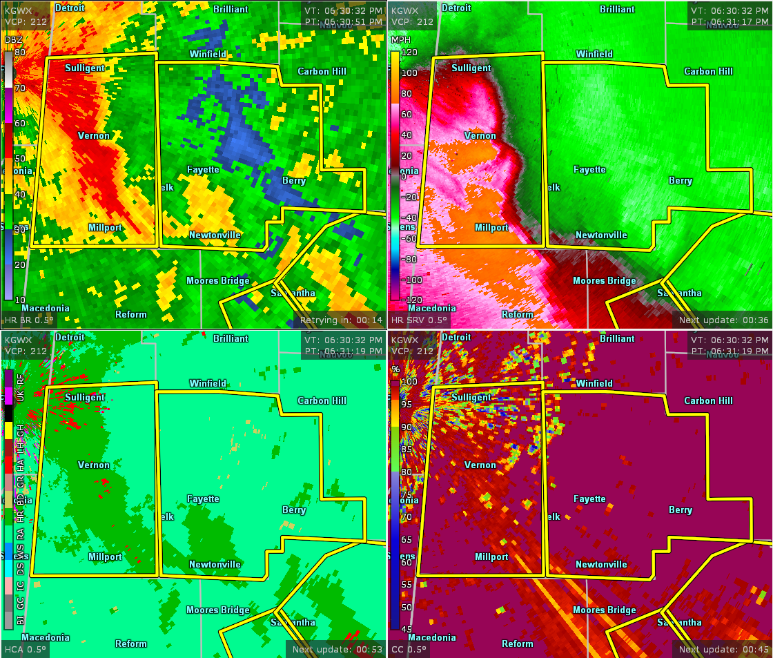

The National Weather Service in Birmingham has issued a
* Severe Thunderstorm Warning for…
Fayette County in west central Alabama…
* Until 745 PM CDT.
* At 632 PM CDT, severe thunderstorms were located along a line extending from Crews to Millport, moving east at 40 mph.
HAZARD…70 mph wind gusts.
SOURCE…Radar indicated.
IMPACT…Expect considerable tree damage. Damage is likely to mobile homes, roofs, and outbuildings.
* Locations impacted include…
Winfield, Fayette, Berry, Glen Allen, Belk, Gu-
Win, Bankston, Boley Springs, Bluff, Stone Wall, Bazemore, Wayside, Richard Arthur Field, Fayette County Public Lake, Bevill State
College Fayette, Hubbertville and Fowlers Crossroads.



