


…A SEVERE THUNDERSTORM WARNING REMAINS IN EFFECT UNTIL 445 PM CDT FOR NORTHWESTERN MARION COUNTY… At 430 PM CDT, a severe thunderstorm was located 8 miles north of Weston, or 11 miles south of Red Bay, moving east at 35 mph.
HAZARD…Golf ball size hail and 60 mph wind gusts.
SOURCE…Radar indicated.
IMPACT…People and animals outdoors will be injured. Expect hail damage to roofs, siding, windows, and vehicles. Expect wind damage to roofs, siding, and trees. Locations impacted include… Shottsville.
Severe Thunderstorm Warning Issued For Parts Of Marion County Until 4:45PM
Mar 27th @ 4:20 pm
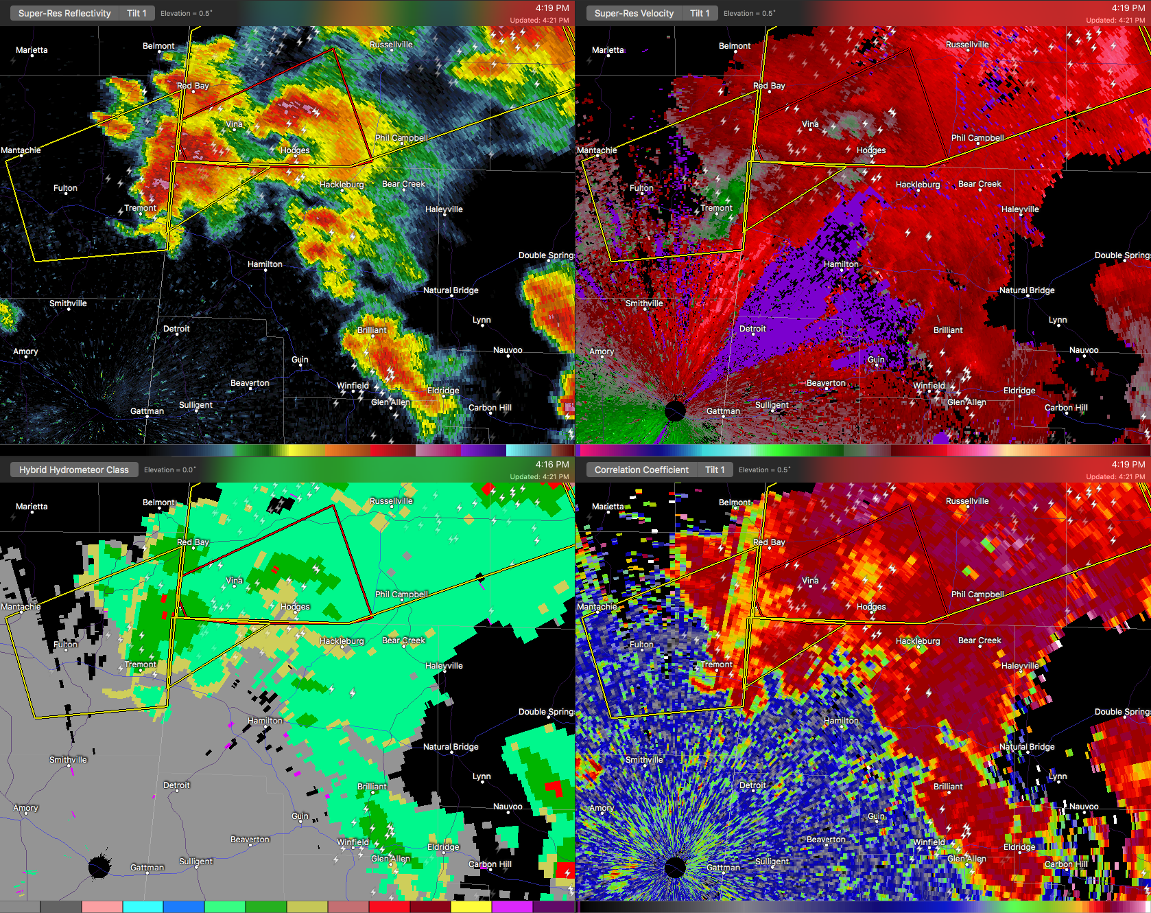

The National Weather Service in Birmingham has issued a
* Severe Thunderstorm Warning for…
Northwestern Marion County in northwestern Alabama…
* Until 445 PM CDT
* At 420 PM CDT, a severe thunderstorm was located near Tremont, or 11 miles south of Red Bay, moving northeast at 45 mph.
HAZARD…60 mph wind gusts and quarter size hail.
SOURCE…Radar indicated.
IMPACT…Hail damage to vehicles is expected. Expect wind damage to roofs, siding, and trees.
* Locations impacted include…
Shottsville.



