


…THE SEVERE THUNDERSTORM WARNING FOR NORTHEASTERN RANDOLPH COUNTY
WILL EXPIRE AT 630 PM CDT…
The storm which prompted the warning has weakened below severe
limits, and no longer poses an immediate threat to life or property.
Therefore the warning will be allowed to expire.
A tornado watch remains in effect until 900 PM CDT for east central
Alabama.
Severe Thunderstorm Warning Continues For Parts Of Randolph County Until 6:30PM
Apr 5th @ 6:04 pm

…A SEVERE THUNDERSTORM WARNING REMAINS IN EFFECT UNTIL 630 PM CDT FOR NORTHEASTERN RANDOLPH COUNTY… At 620 PM CDT, a severe thunderstorm was located near Ephesus, or 11 miles northeast of Wedowee, moving northeast at 55 mph.
HAZARD…60 mph wind gusts and quarter size hail.
SOURCE…Radar indicated.
IMPACT…Hail damage to vehicles is expected. Expect wind damage to roofs, siding, and trees. Locations impacted include… Woodland and Napoleon.
Severe Thunderstorm Warning Continues For Parts Of Randolph County Until 6:30PM
Apr 5th @ 6:04 pm

…A SEVERE THUNDERSTORM WARNING REMAINS IN EFFECT UNTIL 630 PM CDT FOR CENTRAL RANDOLPH COUNTY… At 611 PM CDT, a severe thunderstorm was located near Wedowee, moving northeast at 55 mph.
HAZARD…60 mph wind gusts and quarter size hail.
SOURCE…Radar indicated.
IMPACT…Hail damage to vehicles is expected. Expect wind damage to roofs, siding, and trees. Locations impacted include… Wedowee, Woodland, Tennant and Napoleon.
Severe Thunderstorm Warning Issued For Parts Of Randolph County Until 6:30PM
Apr 5th @ 6:04 pm
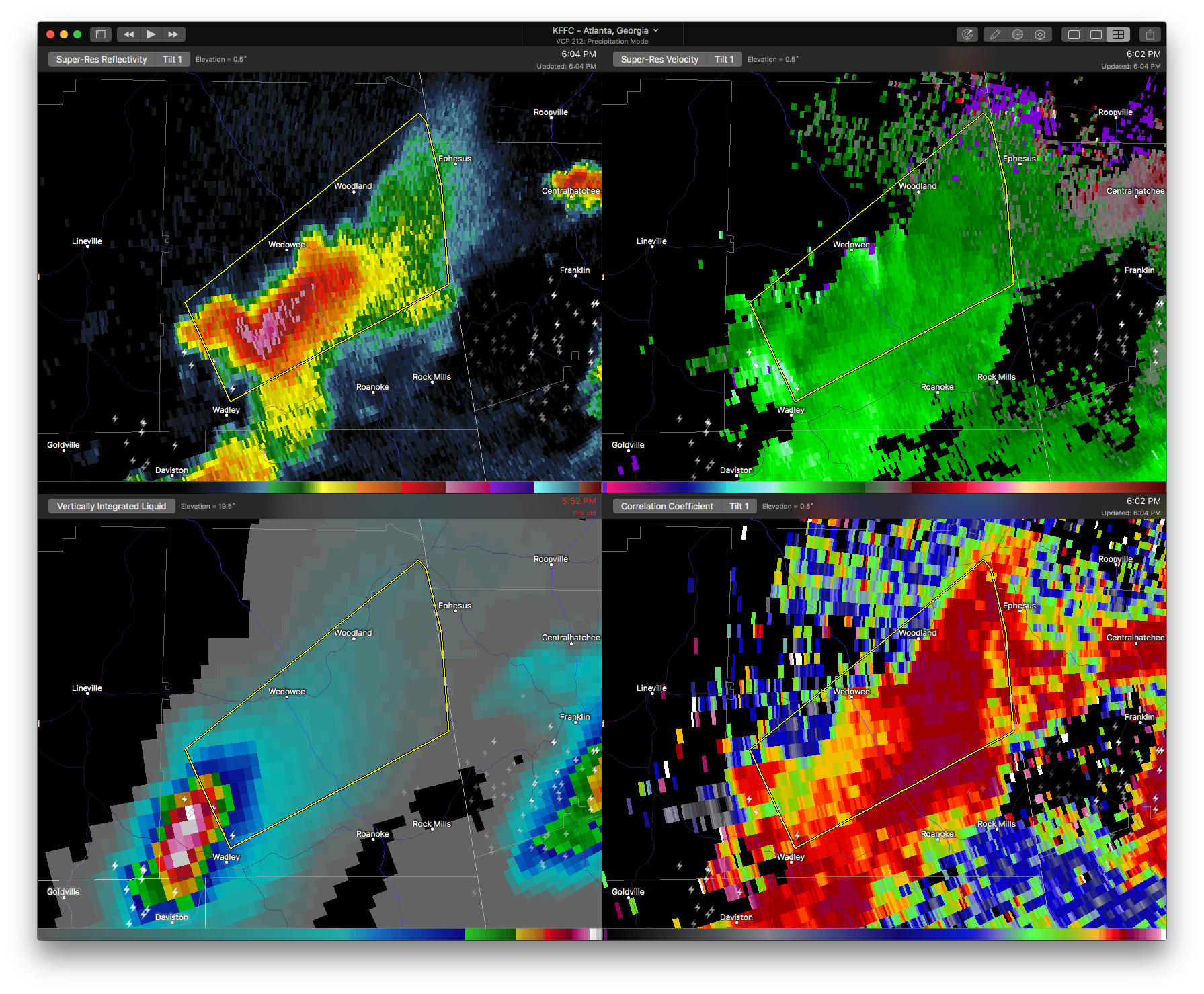

The National Weather Service in Birmingham has issued a
* Severe Thunderstorm Warning for…
Central Randolph County in east central Alabama…
* Until 630 PM CDT
* At 603 PM CDT, a severe thunderstorm was located near Corinth, or near Wedowee, moving northeast at 55 mph.
HAZARD…60 mph wind gusts and quarter size hail.
SOURCE…Radar indicated.
IMPACT…Hail damage to vehicles is expected. Expect wind damage to roofs, siding, and trees.
* Locations impacted include…
Wedowee, Woodland, Malone, Tennant, Big Springs, Rock Stand and
Napoleon.



