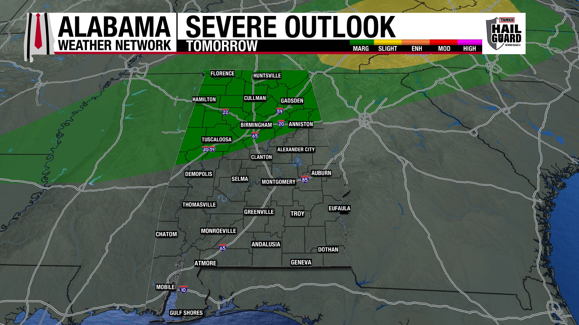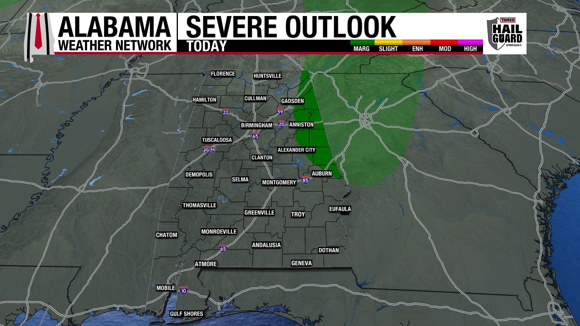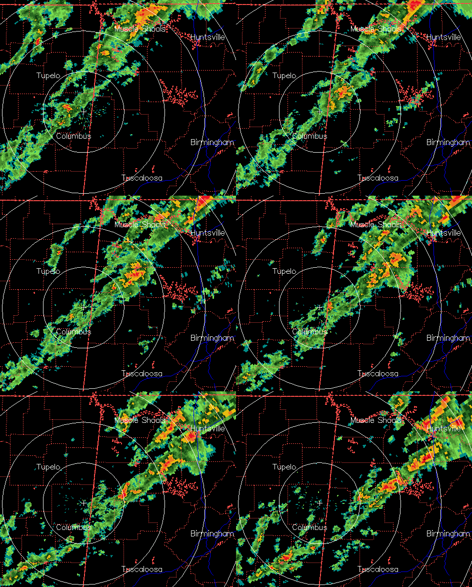
A line of showers and storms is intensifying slowly over west Alabama, as a strong cold front moves toward Alabama. With sunshine and south winds, temperatures have gone all the way to 80 at BHM, with dewpoints in the 60s. And, with the cap finally gone aloft, the atmosphere is primed for strong thunderstorms. Expect storms to continue to intensify in the line over the next hour.
The big question of this event continues to be whether it’s a damaging wind threat, or a significant tornado threat. With the main surface low way to our NE, surface winds are now SW, so winds are not changing direction very rapidly with height. However, they increase in speed with height (70 mph at 5,000 ft.). This can also cause storm rotation. Helicity values (available spin in the atmosphere) are somewhat limited by the SW surface winds (in tornado outbreaks they’re usually more S or even SE), but still significant at 300 m2/s2. This, combined with the unstable air, will help storms to organize and rotate, and a few tornadoes are possible, with more tornadoes the farther north you go. Here in TCL/BHM/ANB, we may see a tornado or two, but we don’t think we’re talking about a widespread outbreak here, as the 850 mb jet will be pulling away this afternoon. Even without a tornado, wind damage is still possible, as downdrafts in storms bring some of the fast-moving air aloft down.
The key to where and if any large tornadoes form in Alabama this afternoon may be mesoscale features such as outflow boundaries from other storms, etc. I don’t see any of that right now, but we’ll keep a close eye on it, as our main threat wind for tornadoes is between now and 4 pm in TCL/BHM/Cullman/Oneonta/Hoover. We’ll also know more when the noon balloon data from NWS Birmingham comes in.
We will have frequent updates, and all warnings, on the blog.