


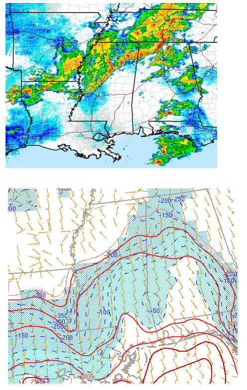
As the warm, humid air pushes farther north into Alabama, the forcing for storms has shifted north of BHM for the time being, after some big-time hailstorms this evening (see James’ pictures below).
So far, the most widespread storms have not been in the areas of worst low-level instability, as you can see above (main instability is south of BHM/Tupelo, storms now north). However, the wind shear will increase over north Alabama early this morning, with helicity values approaching 300 m2/s2 by 3 am. In addition, with dewpoints near 70 in south Alabama and the air moving quickly northward, we will have to watch very closely for any lone supercell storms in central or south Alabama, and as the main line moves in after 2 am, as there may be enough instability and shear by then to support storm rotation and isolated tornadoes.
The good news is that most places should get at least 1/2 to 1″ of rain, with some spots getting a lot more. We really need the rain in this dry situation.



