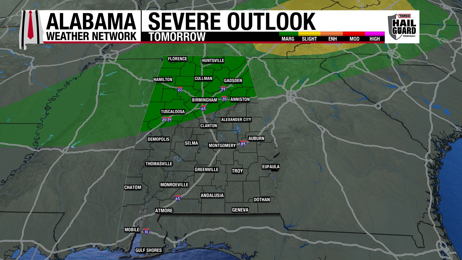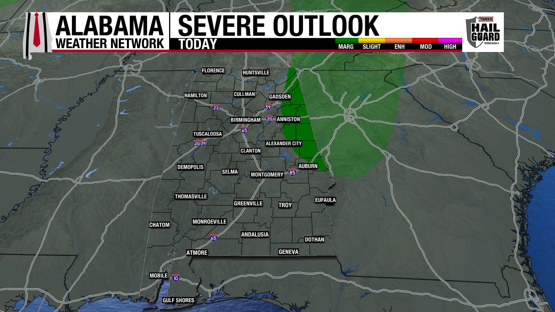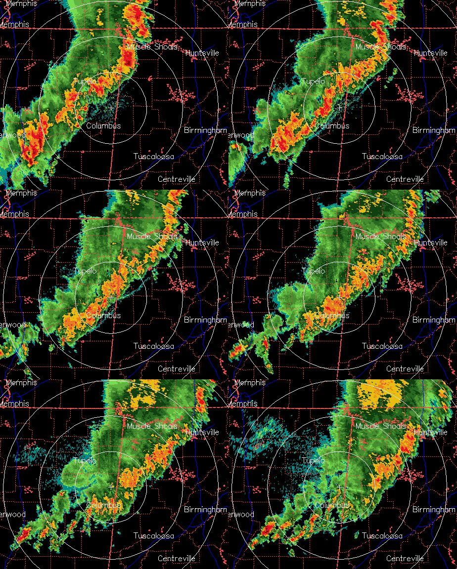
Bow echo moved across NW Alabama as squall line accelerated in that area, producing winds over 65 mph and widespread tree and powerline damage, and some structural damage. That bow has broken now, but strong winds are still likely with the storms as they move through Huntsville.
Further south, the storms are moving slower, but still producing heavy rain, winds up to 40 mph, and lightning. The line of storms from Decatur to Fayette has weakened somewhat, and unless something changes (it could), they will mainly produce heavy rain and gusty winds of 30-50 mph.
The storms I’m most concerned about at the moment are the individual ones developing SW of Columbus MS. They are near a weak boundary, and may have an enhanced potential to produce damaging winds and maybe even a tornado as they move into Alabama after 1 am. The air is becoming a little more unstable near TCL and BHM now, as the dry pocket we talked about earlier moves east. But, we are still only looking at CAPE rising slowly from 500 to 1,000 J/kg in the next 3 hours. Wind shear is strong but not extreme, but with those storms near a possible boundary, they will bear close watching.
Keep a NOAA Weather Radio on standby tonight, or set an alarm and check this blog or TV for the latest weather information. With the storms now slowing down farther south, they could get a little stronger as they move into central Alabama between 1 and 4 am. Hard to tell, as storms generally weaken late at night, but temperatures are still near 80 in BHM and TCL at nearly 1 am.