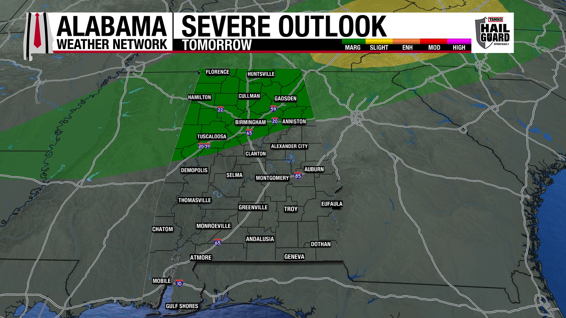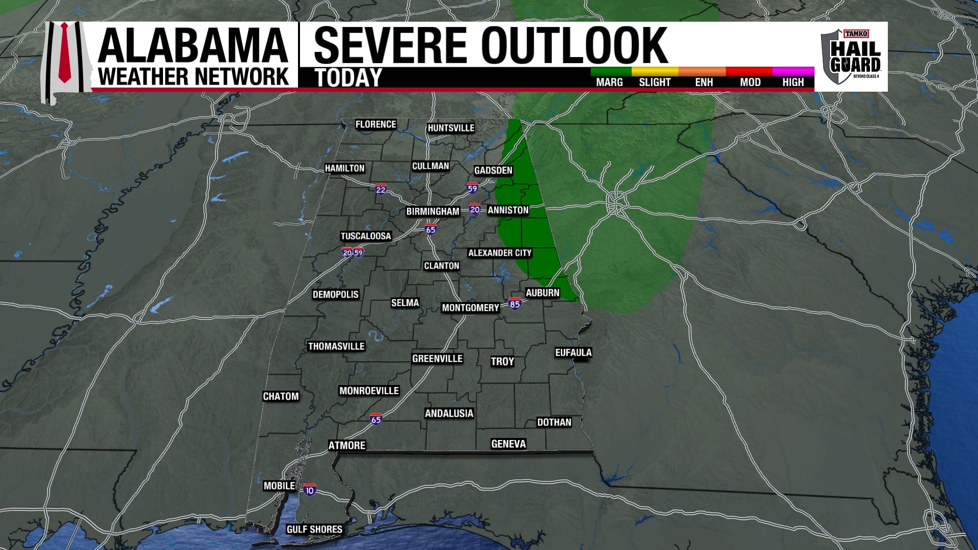
A cold front and an upper-level disturbance are approaching Alabama early this morning. Warm, humid air has been in place for the past 2 days, and early morning temperatures are way above normal for November, near 70. Dewpoints are in the mid 60s, and the air is somewhat unstable (CAPE around 500 J/kg). There is weak wind shear in place right now (helicity around 150), but as the upper impulse moves in, wind shear could increase toward daybreak, so a few storms could rotate. The tornado threat is fairly low, but enough to mention. We are under a tornado watch. As James says below, this is NOT anything like April 27. That day, CAPE was 3,000, and helicity was 700. Both 5 times worse than tonight. Just keep your NOAA Weather Radios turned on through the night and check the weather before you head to work.
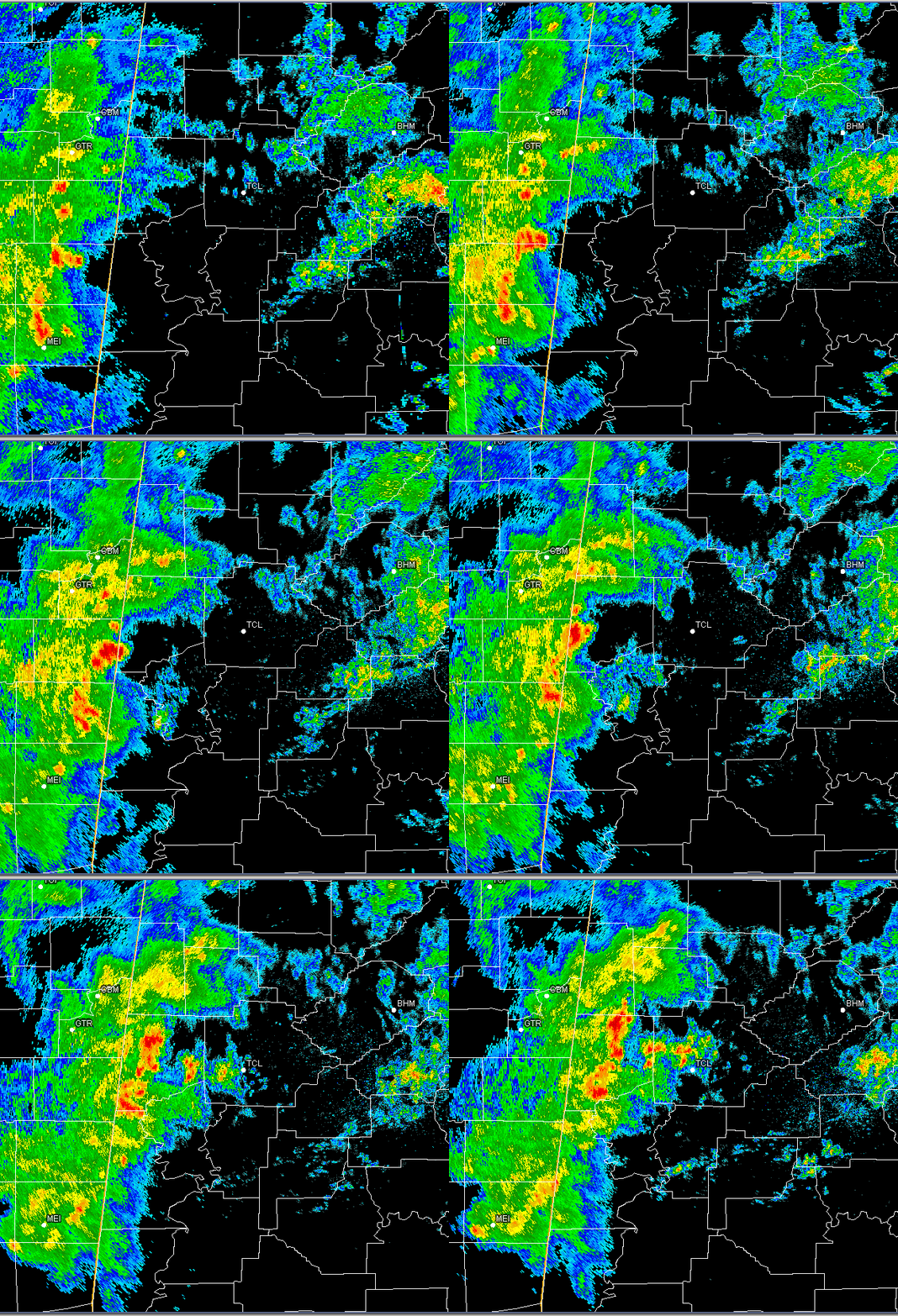
The radar loop above shows the main storms near the AL/MS border, and additional scattered storms may develop ahead of these.