


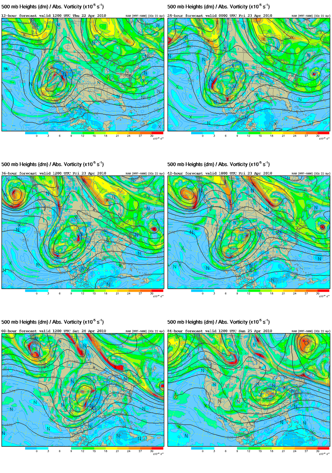
For the first time so far this year, it looks like the parameters could be coming together for a severe weather episode over Alabama Saturday and Saturday night. So far this year, our severe weather episodes have been limited, partially due to the extremely cold winter producing unusually cool Gulf temperatures. However, several days of strong April sunshine have started warming the Gulf up, with buoys south of Panama City reporting water temperatures in the mid 70s. Our moisture supply is there now.
A slow-moving upper low will allow southerly flow to bring warm, moist air into Alabama over the next 24-48 hours, with dewpoints eventually making it to 65 as far north as HSV or BHM this weekend. The total atmospheric moisture from the surface to 50,000 feet should almost triple between now and Saturday.
The wind fields will also be strong with this system, with surface winds gusting to 25 mph Saturday, and winds at 5,000 feet near 60 mph. This will produce helicity, so any storms that form may rotate, bringing the possibility of tornadoes into the forecast by late Saturday.
The main question will be how much sunshine we get on Saturday. If it rains and stays cloudy much of the day, our severe weather threat will be lower Saturday afternoon/night. But, if we get sunshine on Saturday and temperatures warm to 80, the air will become unstable and storms could be rough Saturday night.
There are still a lot of factors that could change between now and Saturday, so this is more of a heads-up. It’s been a quiet season, but we can still have severe weather into May and June. We should get at least 1″ (or more) of rain out of this system, washing some of the pollen away temporarily!
I’ll be mainly off the grid this weekend. Headed to Tallahassee to give a talk on gravity waves at NWS, on Florida State University Campus, then headed to PCB. May storm chase on the way back!



