


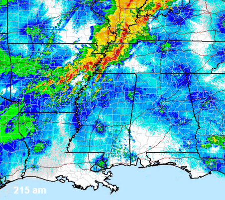
Tornadoes hit in Arkansas last night, and the weather system that produced them is slow-moving, much like the one we dealt with last week. This one doesn’t look as intense with wind shear in Alabama, but there still may be enough shear this weekend to cause some storms to rotate and produce tornadoes, so keep a source of weather information handy.
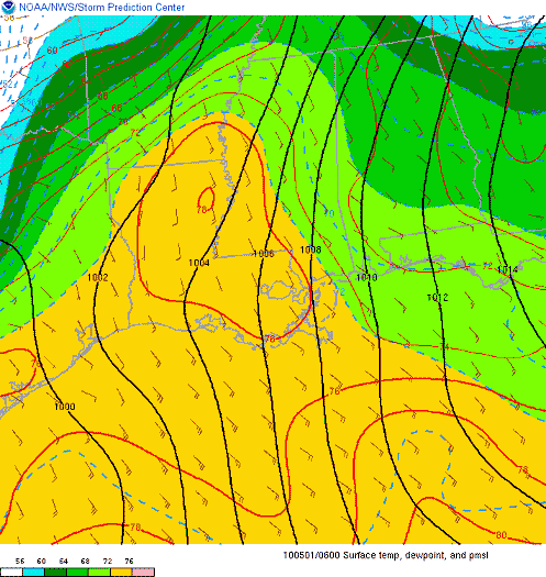
A warm front is moving across Alabama this morning, with dewpoints in Mississippi in the lower 70s. Dewpoints in west and central Alabama will make it to near 70 today, and with any sunshine, the air will become unstable. Scattered thunderstorms will develop quickly this afternoon, and they may produce heavy rain, gusty winds, and even isolated tornadoes, with the stronger storms in NW Alabama. But, the biggest threat of severe weather today should be to our NW, from north MS into west TN.
As the system finally starts to move tomorrow, we’ll see more thunderstorms Sunday afternoon and Sunday night, and these could also be severe, with tornadoes possible. Heavy rain and flooding may also become a problem if the storms move slowly, with rainfall totals of 5″ possible in some locations in north Alabama.



