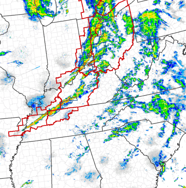
An active day for severe weather will continue into the overnight hours as this power and dynamic system moves east. In its wake, widespread damage and destruction has occurred across Illinois and Indiana, where several large tornadoes ripped through communities. The system is moving rapidly and this is causing individual storms to race to the east as well. Illinois and Indiana are in the clear now as the worst of the weather is affecting eastern Michigan, Ohio, Kentucky and northern Tennessee.
The dynamics with this system will allow for convection to continue through the overnight hours. Back closer to us in Alabama, the front is diving into the region and we are seeing showers and storms develop along this boundary across western Tennessee. Over the next few hours, this line could continue to build towards the southwest along the boundary and perhaps cause storms to develop over northern Mississippi. That activity is then expected to head toward north-central Alabama during the overnight hours.
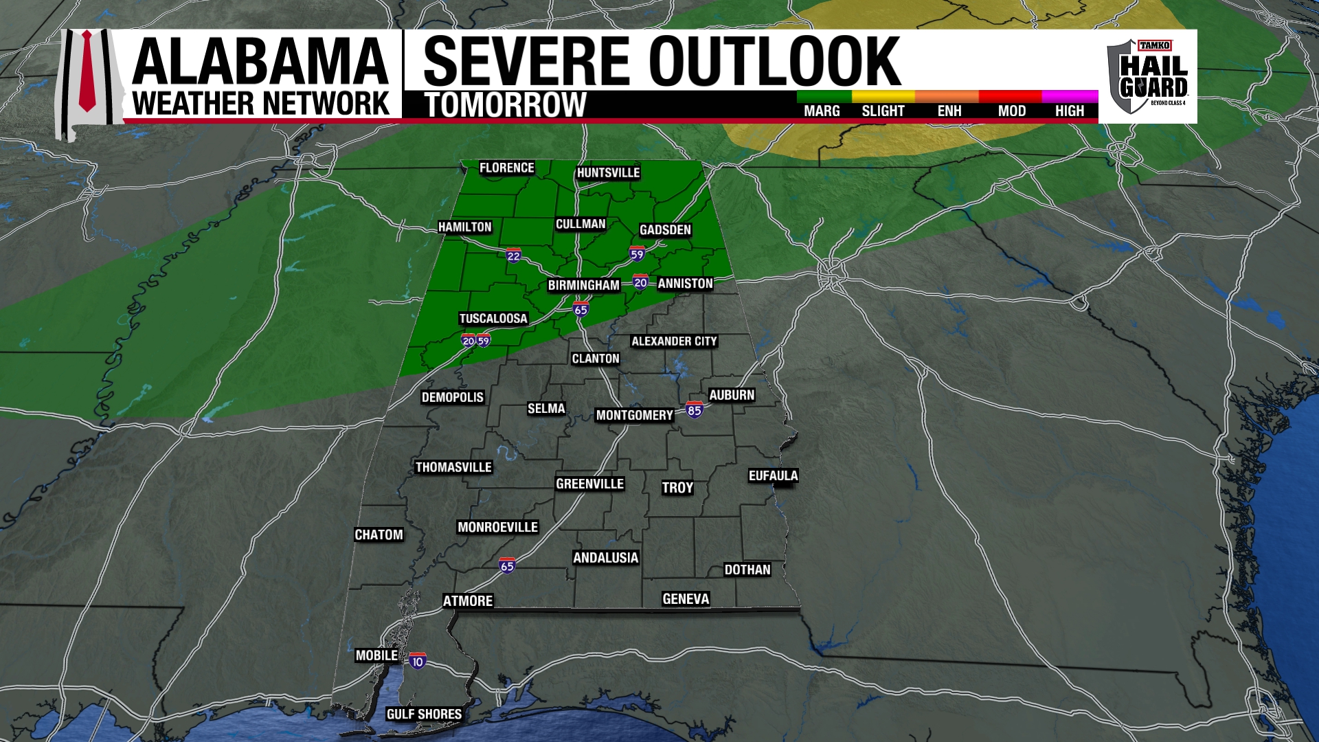
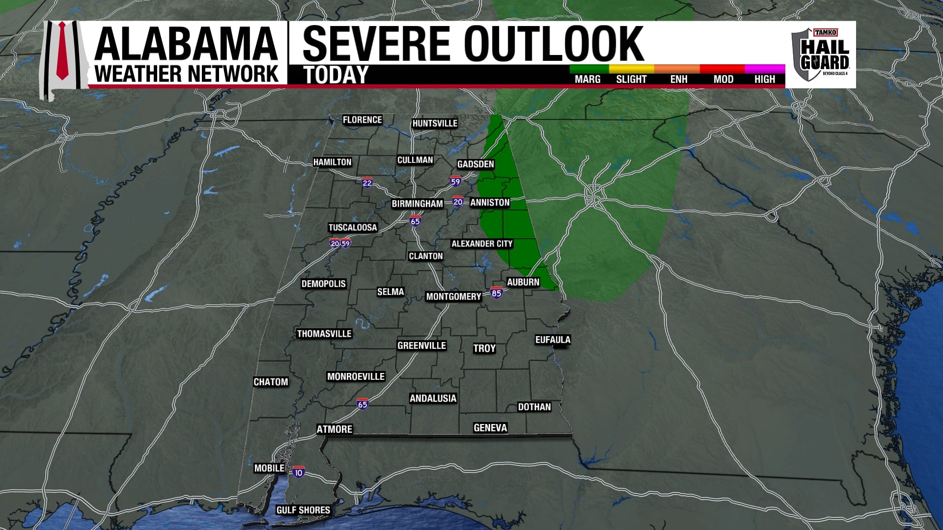
There could be a few strong storms overnight, but once again the dynamics are far to the north of Alabama. Severe weather is not expected for us in central Alabama.