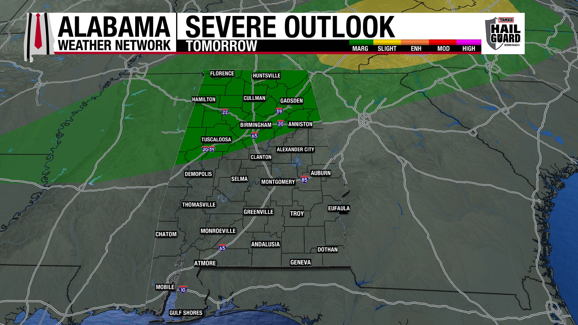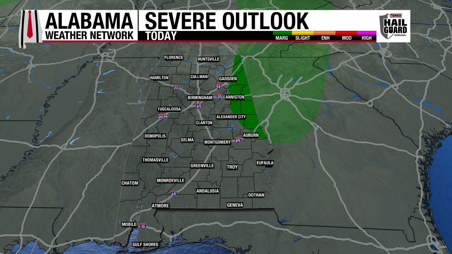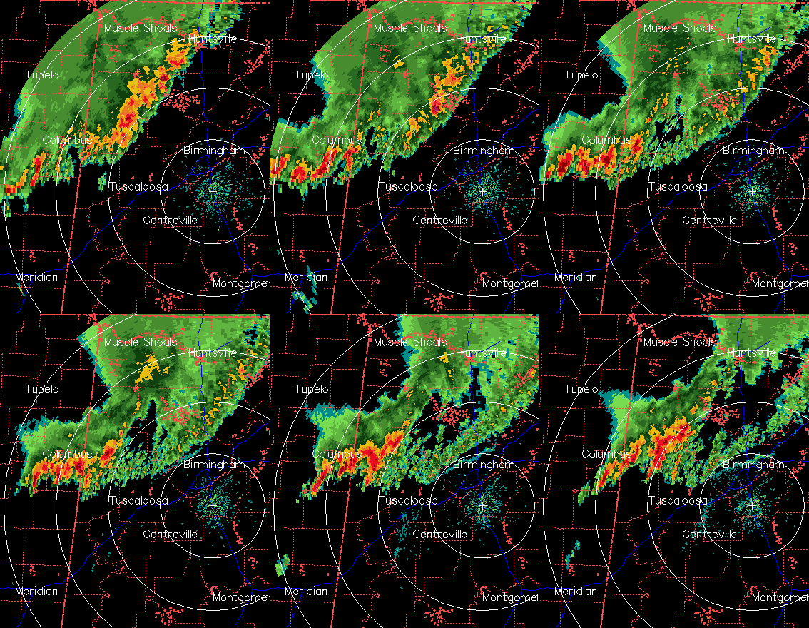
After a bow echo over extreme north Alabama produced winds near 70 mph and widespread damage, especially over NW Alabama (Florence, Moulton, etc.), the slower-moving part of the line to the south has weakened considerably over the past hour, and is now mainly just a band of showers with heavy rain and wind gusts out ahead of it to 40 mph…no big deal. The northern part of the line still has momentum, and is producing wind gusts up to 60 mph, especially in the mountains of NE Alabama.
The storms Bill and I have been talking about of most concern have been the ones developing/moving into west Alabama out of east MS. However, it looks like those will cross into the cool, stable air behind the main line of storms, and eventually weaken. As long as the line of storms continues to push SE through Jefferson, Shelby, and Tuscaloosa Counties, later storms won’t be a big threat to TCL and BHM since they will move into the cool air behind the main line too.
The question is how far south that line will go. It is mainly moving now due to its temperature difference (60s behind it, 70s ahead of it, cold dense air creates high pressure and pushes it along). But, as the storms and their cold pool die and strong south winds at the surface start to push back against the southward sagging cool air, it could be stalling somewhere near I-20, leaving a thermal boundary for any additional storms overnight to move along, enhancing their tornado threat a little. No tornado warnings are in effect right now (211 am) over MS nor AL. That boundary will also serve as a focal point for storms during the daytime.
Whenever you check this, if you are well north of the main line of rain moving SE through central AL, you are probably OK for the rest of the night. If you are south of, or especially along the edge of that rain area, severe storms and even isolated tornadoes remain possible. A tornado watch continues until 4 am, including BHM and TCL. Either way, keep your NOAA Weather Radio turned on, and if a tornado warning is issued, take action.