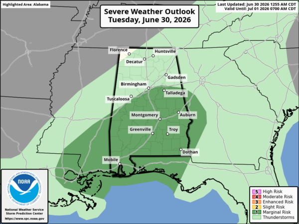
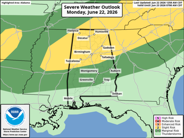
With the strong cold front approaching, there is a slight risk for severe storms this evening over about the northern half of Alabama, according to the Storm Prediction Center (SPC). The instability is very limited…even in the area behind a leading area of rain moving from middle Tennessee and NE Mississippi into west Alabama, which may arrive in BHM before 4 pm (see radar).
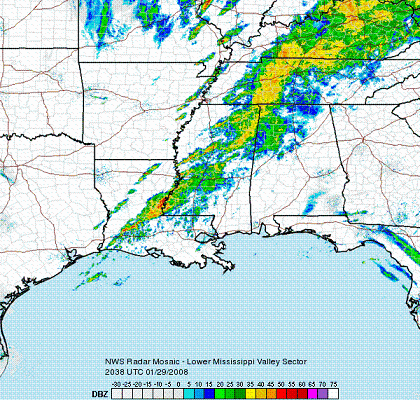
You can already see the strong storms developing ahead of the cold front, from Illinois and SE Missouri to eastern Arkansas and Louisiana. But, even with limited instability, the wind fields are very strong (0-1 km helicity 400-800, almost off the chart), and with wind just above the surface 40-50 knots, any squall line that comes in here tonight could bring some damaging wind.
By the time the rain cools us off some here, and then the sun sets behind it, I expect instability will be very limited here tonight as the storms move in, so even though an isolated tornado is not out of the question, the main threat will be damaging winds.