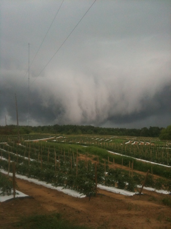
The storms that rolled up into Jefferson and Shelby Counties late Saturday afternoon produced some impressive shelf clouds. These arcing clouds are produced by the cool air from the downdraft of the thunderstorm. There are two types of arcus clouds, roll clouds and shelf clouds. Roll clouds are detached from the parent thunderstorm, while shelf clouds are attached. They are often mistaken for wall clouds, which are associated with the updraft of a strong thunderstorm.
This photo is from William Martin in Helena:
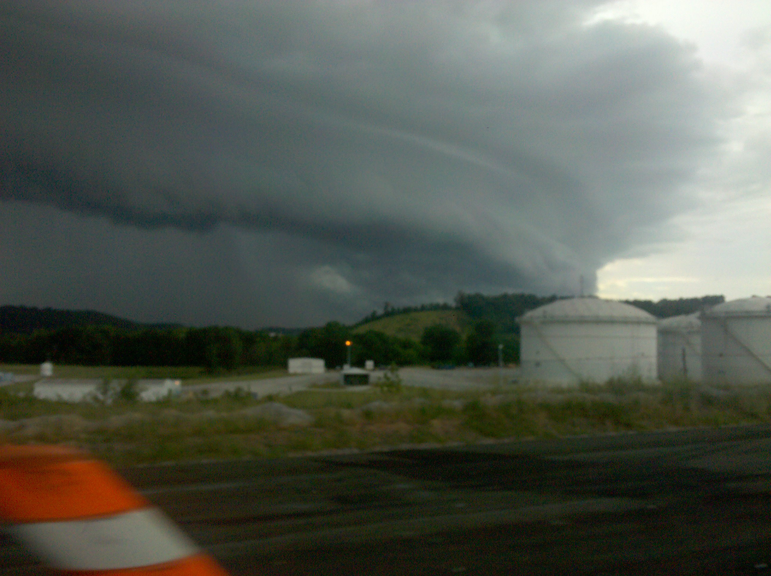
…and this image is from Alston Keith who snapped this shot from Inverness.
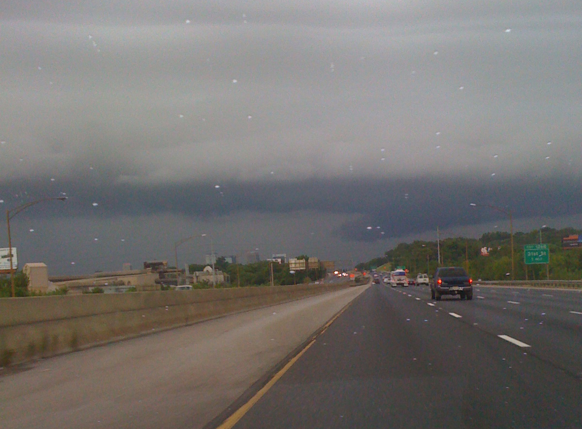
This image is of the shelf cloud from between Tallapoosa and 31st Street on I-59 as the storm approached downtown about 7 p.m.
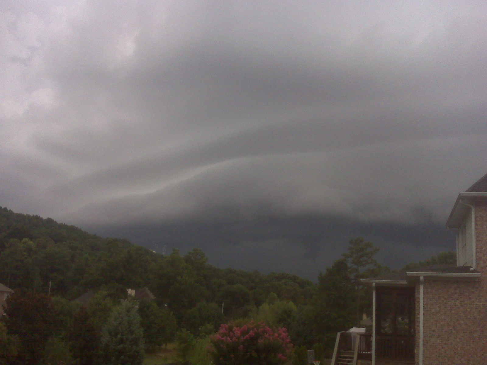
Finally, this beautiful image of a chaotic sky formation over Blount County. That cascading formation is probably a downdraft from the storm. Thanks RMac for sending this!