


RAIN CHANCES BEGIN TO DROP FOR THE WEEKEND
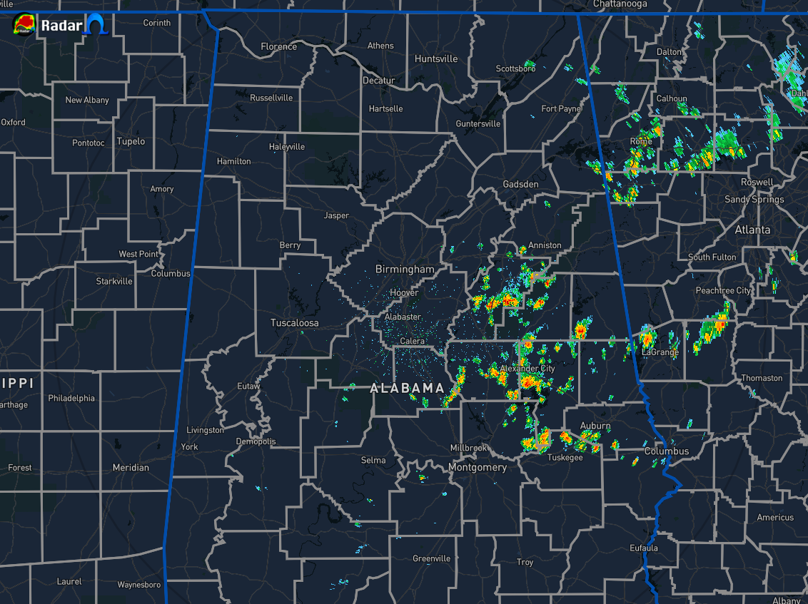
At 11:40 am, we have scattered shower and thunderstorm activity over the eastern parts of the area and we can expect to see more showers and storms pop-up throughout the main heating of the day. Temperatures were in the mid-70s to the upper 80s across Central Alabama. Alexander City was the cool spot at 76 degrees while the hot spot was Tuscaloosa at 88 degrees. Birmingham was at 84 degrees.
It will continue to be a near typical summertime day for your Saturday with skies ranging from mostly clear to partly cloudy. Scattered showers and thunderstorms will once again be possible across all of Central Alabama mainly during the afternoon and into the early evening hours, with rain chances maxing out around 20%-60% from northwest to southeast. Afternoon highs will be in the upper 80s to the lower 90s.
Sunday looks to be a much drier day across Central Alabama as we’ll have a day to dry out. I can’t completely rule out a stray shower in the extreme northwestern parts of the area, but rain chances will be highly unlikely. Skies will be mostly sunny to partly cloudy across the area and highs will top out in the lower to mid-90s.
BUSY IN THE TROPICS, NO THREATS TO THE USA
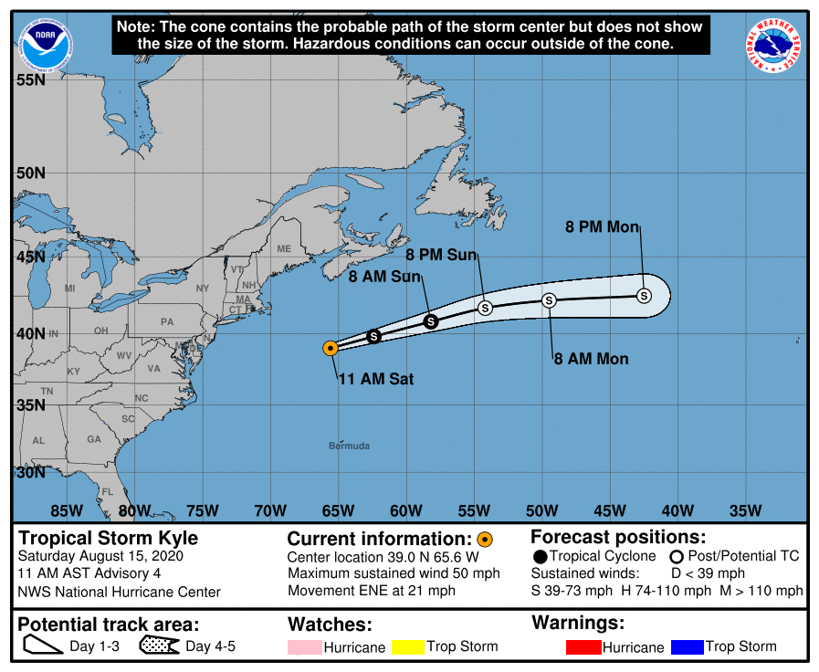
Tropical Storm Kyle continues to move farther away from the east coast of the US and will only be an issue to the fish. The movement has increased to the east-northeast at 21 MPH. The maximum sustained winds are at 50 MPH. Some slight additional strengthening is possible today before Kyle becomes post-tropical later this weekend. Gradual weakening is then expected through early next week.
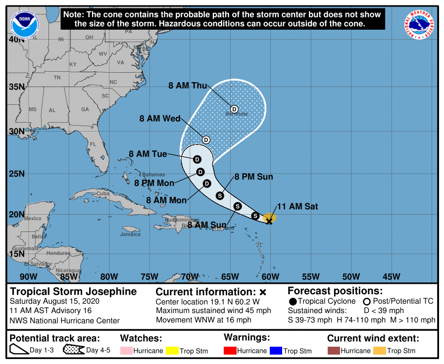
Tropical Storm Josephine continues her trek to the west-northwest with maximum sustained winds holding at 45 MPH. Forward movement remains at 16 MPH. On the forecast track, the center of Josephine is expected to pass to the northeast of the Leeward Islands today and tonight. A weakening trend is expected after today as upper-level winds will become unfavorable. She will eventually curve around to the northeast and potentially becoming post-tropical by late Tuesday or very early on Wednesday.



