


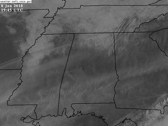
Due to an upper-level disturbance rotating around the big cold upper trough to our north, a little residual moisture, and, oddly, our air being a little bit unstable (the air at 2,500 ft. is 12 degrees, while the air at the ground is in the 20s), some light snow showers have been occurring today, mainly in north Alabama, and especially on hilltops where the air gets some extra lift. Radars at Huntsville and Columbus, MS show the snow right around the radar…it is shallow, so the radar beam gets above it beyond about 50 miles from the radar.
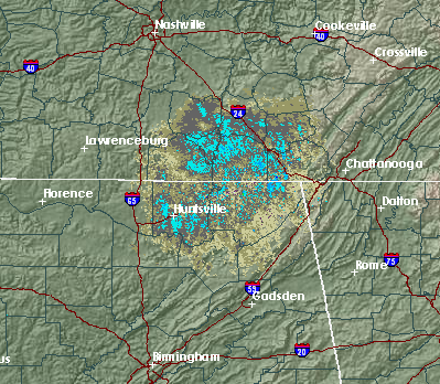
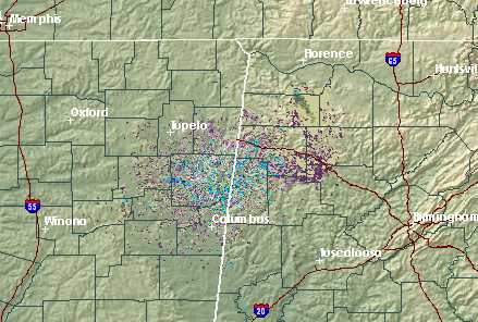
These snow showers are generally very light, but with the very cold surface temperatures, could cause a few slick spots, especially on bridges, north of I-59, and mainly north of US-278, tonight and tomorrow morning.
Temperatures have probably reached their highs for the day in BHM, with mid 20s this afternoon and wind chills are near in the teens. Soil temperatures are about 10 degrees colder with this cold outbreak than they were with the last one, so the air won’t modify as much. So, even with partly sunny skies this weekend, expect highs to remain below freezing over the northern half of Alabama tomorrow, and only reach the lower to middle 30s on Sunday. Wind chills tonight and tomorrow will remain between 0 and 20 much of the time as far south as Montgomery, so please take the precautions for an extreme cold event we have been talking about here on the blog over past few days (scroll down a look at older entries for specific tips on energy savings, and protection for the elderly, pets, pipes, etc.) This is the coldest long-term period we have experienced here in Alabama in at least 21 years, and may wind up being one of the coldest 10 days ever on record.



