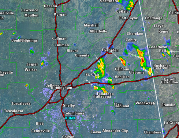
Again today, scattered showers and a few strong thunderstorms are popping-up across Alabama. Early this afternoon, the more intense convection is developing over East Alabama. Locations in Cleburne, Calhoun, Talladega, Etowah, St. Clair, and Cherokee counties are being impacted.
At this time, none of these storms are severe, but they are strong producing torrential rainfall, small hail, gusty winds, and frequent and dangerous lightning. As the upper-level low to the west slides back to the west, we are seeing today’s convection move from southeast to northwest and not south to north as we have seen most of this week. Throughout the rest of the afternoon, expect more showers and storms to develop and persist into the evening hours.