


**DANGEROUS WEATHER SITUATION THIS AFTERNOON**
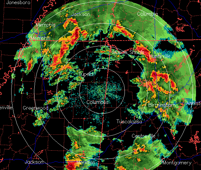
The storms moving through central Alabama are still bad, with many reports of large hail and 40-60 mph winds downing some trees. The wind shear is extreme right now, so damage and even isolated tornadoes may occur with these.
However, these storms are still a bit elevated, as the main surface-based instability is still in Mississippi (CAPE > 2000 J/kg). Notice the storm near Meridian. It looks very dangerous and is headed toward west Alabama.
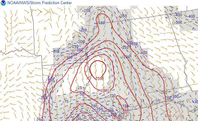
As the southerly jet moves through later, the more unstable air should spread into Alabama from the SW. Also, satellite indicates there could be a few thin spots, or even sunshine, through the clouds, warming temperatures more at the surface. As this occurs, the most dangerous part of the system will move over Alabama, with large wind shear and instability, starting by 10 am in west Alabama, and quickly overspreading the state by 1 pm.



