


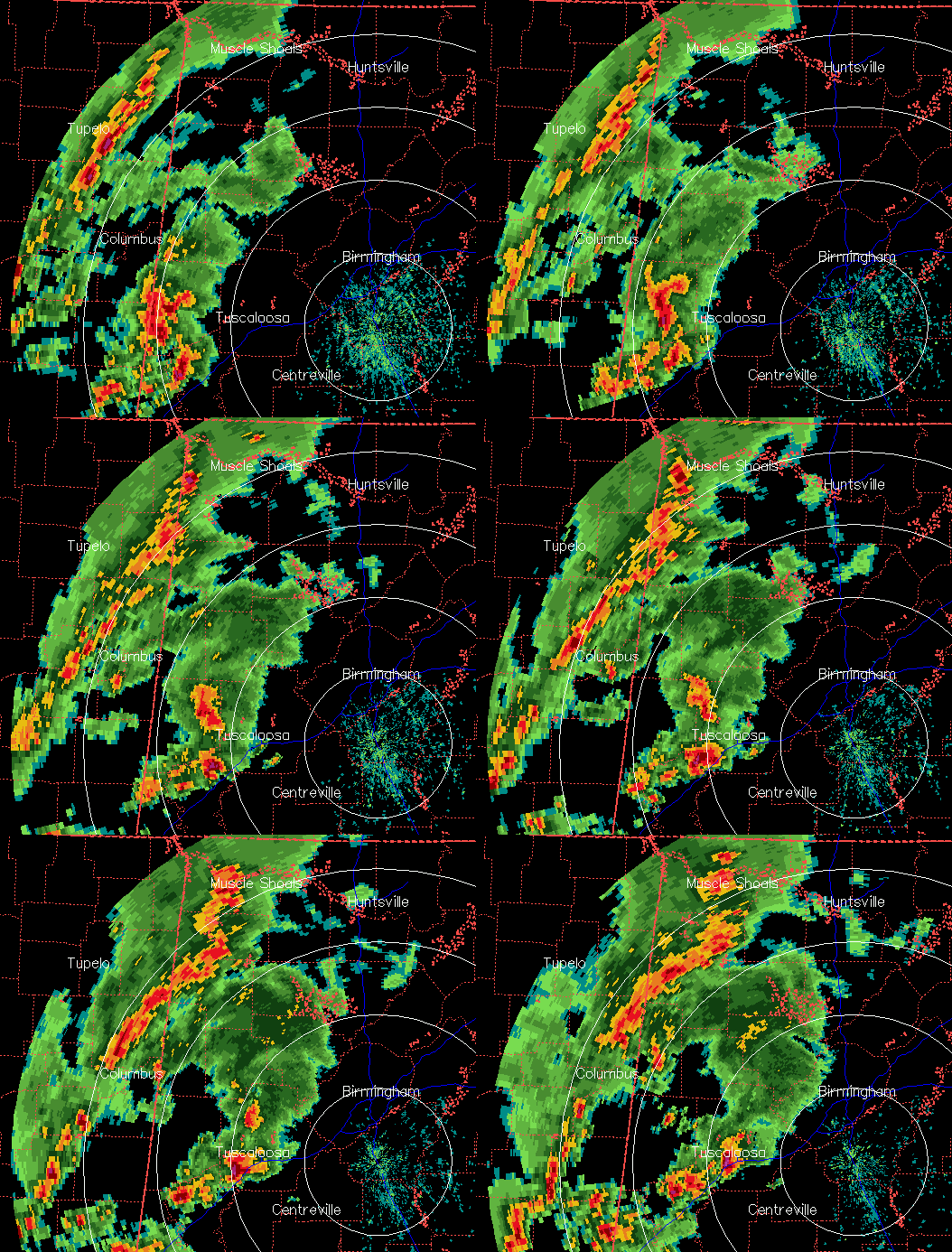
An area of showers and strong thunderstorms is in Mississippi and west Alabama now, and will move into the BHM area by 500-530 pm. The storm near Tuscaloosa looks dangerous, as it has weak rotation and high radar reflectivity. It has already produced nickel-sized hail on the Warrior River in Tuscaloosa County, and wind damage. 60 mph winds are possible. Driving on I-59 between TCL and Bessemer in the next 30 minutes in discouraged.
The air is moist and unstable over Alabama this afternoon, with CAPE 1500-2500 J/kg.
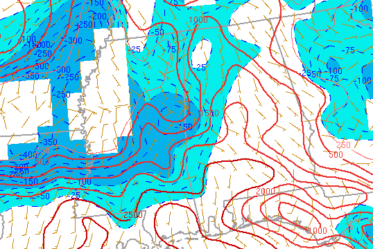
Temperatures won’t cool much this evening, so expect rain and large storms to move across central Alabama this evening, and into east Alabama after 7 or 8 pm. A severe thunderstorm watch is in effect just west of I-65, and may be extended into BHM soon.
For baseball practices, etc., please use common sense. Lightning is very dangerous…and if you can hear thunder then lightning is happening not too far away. Also, try to avoid driving in the heavy rain, and if you have to, please leave distance between you and the car in front of you and slow down.



